Transport Functions
Port
Hub Profile
Place type
Populated place
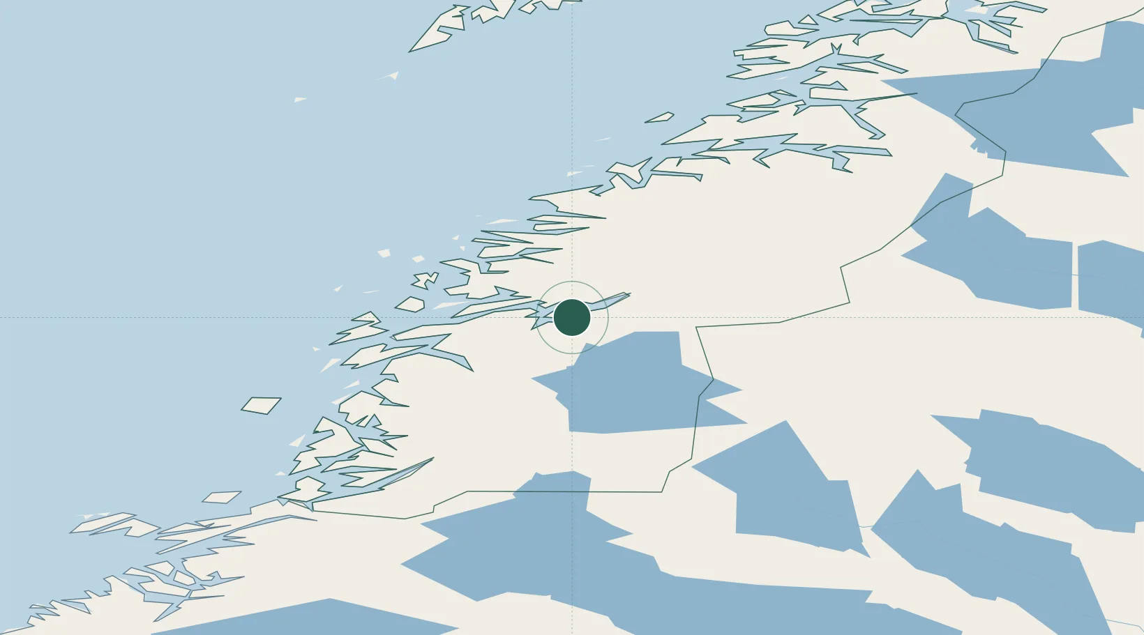
Region
Nordland
Time zone
Europe/Oslo
Elevation
160 m
Location
Nearby Logistics Neighbours
Cities
- 1Bjerka6 km
- 2Hemnesberget9 km
- 3Seljeli11 km
- 4Mo i Rana20 km
- 5Austvika25 km
Ports
- 1Hemnesberget9 km
- 2Mo I Rana22 km
- 3Nesna35 km
- 4Mosjoen46 km
- 5Sandnessjoen55 km
Airports
- 1Mo i Rana Airport, Røssvoll31 km
- 2Mosjøen Airport, Kjærstad51 km
- 3Sandnessjøen Airport, Stokka64 km
- 4Hemavan Airport72 km
- 5Brønnøysund Airport, Brønnøy107 km
Trade Zones
- 1Oulu Port Free Warehouse Area550 km
- 2Turku Free Zone763 km
- 3Stockholm Free Zone791 km
- 4Freeport of Hanko841 km
- 5Paldiski Free Zone922 km
DatabookThe Record of Consolidated Knowledge
Norway beyond logistics?