Transport Functions
Rail
Road
Hub Profile
Place type
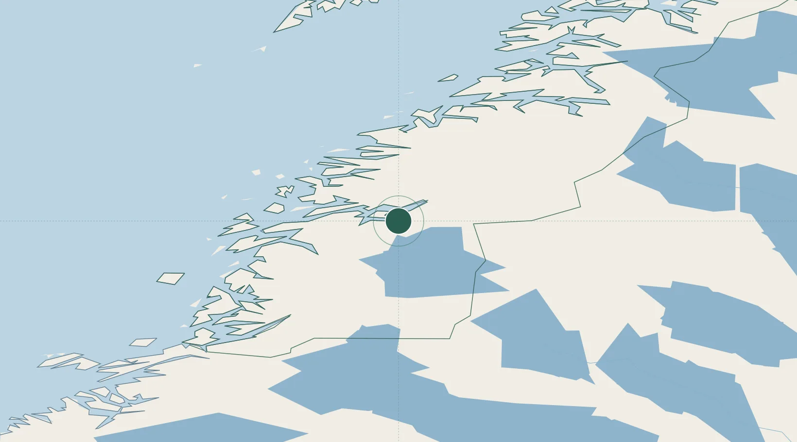
Populated place
Region
Nordland
Population
452
Time zone
Europe/Oslo
Elevation
40 m
Location
Nearby Logistics Neighbours
Cities
- 1Finneidfjord6 km
- 2Seljeli14 km
- 3Hemnesberget15 km
- 4Mo i Rana20 km
- 5Austvika29 km
Ports
- 1Hemnesberget15 km
- 2Mo I Rana22 km
- 3Nesna40 km
- 4Mosjoen46 km
- 5Sandnessjoen58 km
Airports
- 1Mo i Rana Airport, Røssvoll30 km
- 2Mosjøen Airport, Kjærstad51 km
- 3Hemavan Airport66 km
- 4Sandnessjøen Airport, Stokka67 km
- 5Brønnøysund Airport, Brønnøy108 km
Trade Zones
- 1Oulu Port Free Warehouse Area545 km
- 2Turku Free Zone757 km
- 3Stockholm Free Zone786 km
- 4Freeport of Hanko835 km
- 5Paldiski Free Zone916 km
DatabookThe Record of Consolidated Knowledge
Norway beyond logistics?