UN/LOCODE hub · Norway
NOKVR

Kvæfjord

68.7667°, 16.1667°
1
Transport functions

Transport Functions

Port
UN/LOCODE

Hub Profile

Region
19
GeoNames

Location

Location of NOKVR
Natural Earth 10m (public domain) · 19 · NOKVR · 68.77, 16.17GoogleOSMYandex

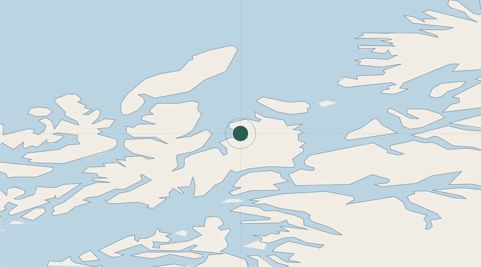
Nearby Logistics Neighbours

Cities
  1. 1Borkenes0 km
  2. 2Harstad15 km
  3. 3Grøtavær23 km
  4. 4Fjelldal28 km
  5. 5Bjarkøy28 km
Nearest neighbours — logibook spatial index (haversine) over the source coordinates
Ports
  1. 1Harstad16 km
  2. 2Ulvik23 km
  3. 3Sortland31 km
  4. 4Lodingen40 km
  5. 5Lilandsgrunnen44 km
Nearest neighbours — logibook spatial index (haversine) over the source coordinates
Airports
  1. 1Harstad/Narvik Airport37 km
  2. 2Stokmarknes Airport, Skagen50 km
  3. 3Andøya Airport, Andenes59 km
  4. 4Svolvær Airport, Helle84 km
  5. 5Bardufoss Airport100 km
Nearest neighbours — logibook spatial index (haversine) over the source coordinates
Trade Zones
  1. 1Oulu Port Free Warehouse Area581 km
  2. 2Turku Free Zone968 km
  3. 3Free Zone of Lappeenranta1023 km
  4. 4Freeport of Hanko1044 km
  5. 5Stockholm Free Zone1051 km
Nearest neighbours — logibook spatial index (haversine) over the source coordinates
DatabookThe Record of Consolidated Knowledge
Norway beyond logistics?
Browse databook

All Sources

LocationsUN/LOCODE
UN/LOCODE — free
Portsthe NGA World Port Index
Public domain (US gov)
AirportsOurAirports
Public domain
Trade Zonesthe World Bank SEZ database
CC BY 4.0
Trade ZonesOpen Zone Map
CC BY
← Norway locations