Transport Functions
Port
Road
Hub Profile
Place type
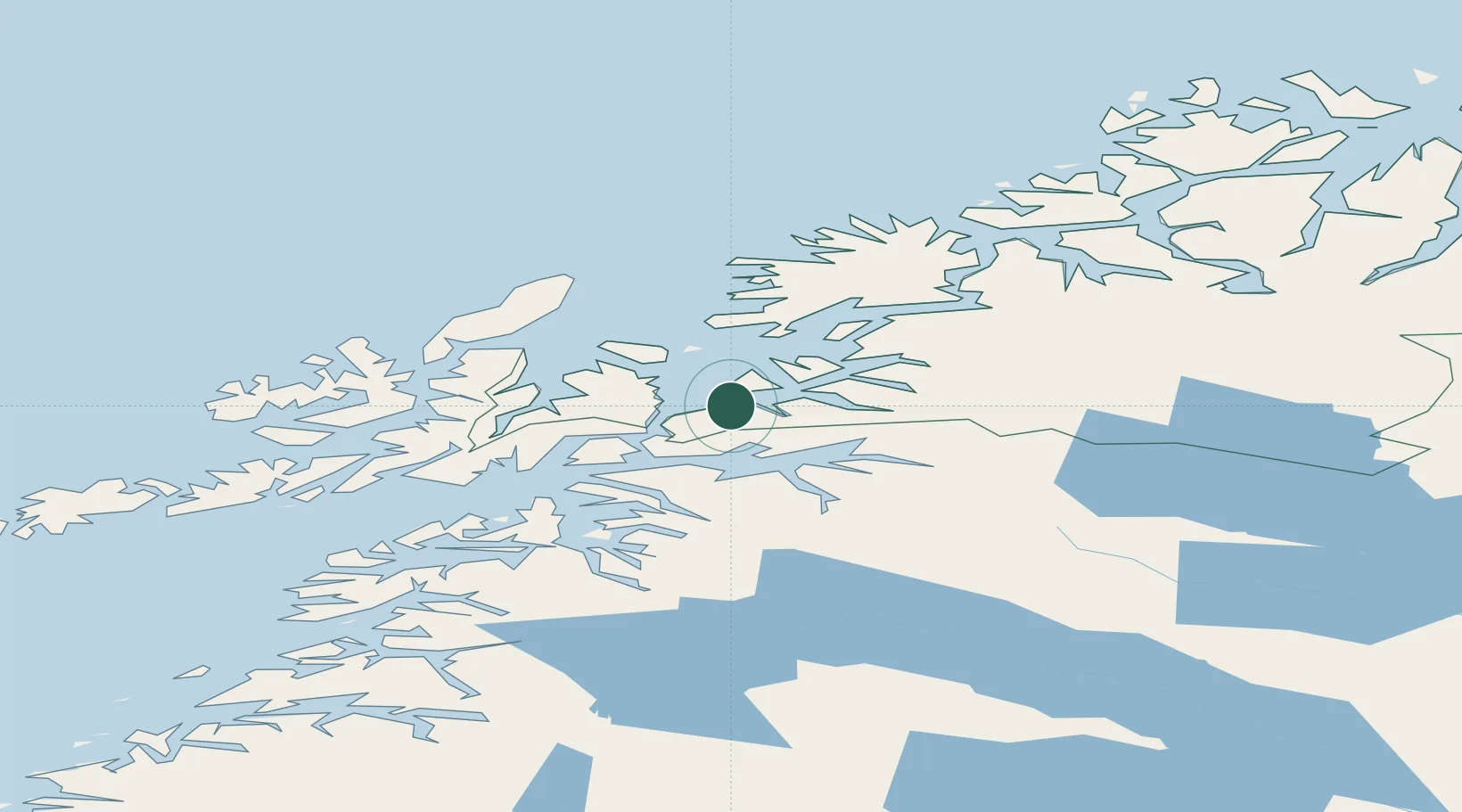
Populated place
Region
Troms
Population
200
Time zone
Europe/Oslo
Elevation
29 m
Location
Nearby Logistics Neighbours
Ports
- 1Harstad19 km
- 2Lilandsgrunnen23 km
- 3Ulvik30 km
- 4Narvik36 km
- 5Litle Ballangen37 km
Airports
- 1Harstad/Narvik Airport23 km
- 2Andøya Airport, Andenes75 km
- 3Stokmarknes Airport, Skagen77 km
- 4Bardufoss Airport78 km
- 5Svolvær Airport, Helle103 km
Trade Zones
- 1Oulu Port Free Warehouse Area553 km
- 2Turku Free Zone950 km
- 3Free Zone of Lappeenranta998 km
- 4Freeport of Hanko1025 km
- 5Port of Hamina-Kotka1029 km
DatabookThe Record of Consolidated Knowledge
Norway beyond logistics?