Transport Functions
Port
Road
Hub Profile
Place type
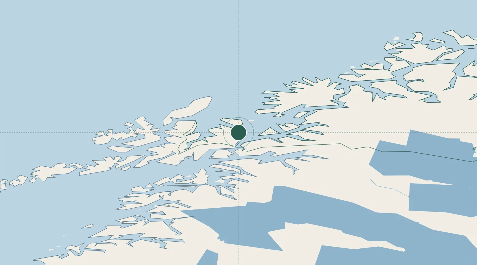
Provincial seat
Region
Troms
Population
20,953
Time zone
Europe/Oslo
Elevation
1 m
Location
Nearby Logistics Neighbours
Ports
- 1Ulvik28 km
- 2Lilandsgrunnen37 km
- 3Sortland46 km
- 4Lodingen46 km
- 5Litle Ballangen50 km
Airports
- 1Harstad/Narvik Airport33 km
- 2Andøya Airport, Andenes59 km
- 3Stokmarknes Airport, Skagen65 km
- 4Bardufoss Airport86 km
- 5Svolvær Airport, Helle97 km
Trade Zones
- 1Oulu Port Free Warehouse Area571 km
- 2Turku Free Zone965 km
- 3Free Zone of Lappeenranta1016 km
- 4Freeport of Hanko1040 km
- 5Port of Hamina-Kotka1046 km
DatabookThe Record of Consolidated Knowledge
Norway beyond logistics?