UN/LOCODE hub · Norway
NOSAY

Sandøya

68.9500°, 16.6667°
1
Transport functions

Transport Functions

Port
UN/LOCODE

Hub Profile

Region
15
GeoNames

Location

Location of NOSAY
Natural Earth 10m (public domain) · 15 · NOSAY · 68.95, 16.67GoogleOSMYandex

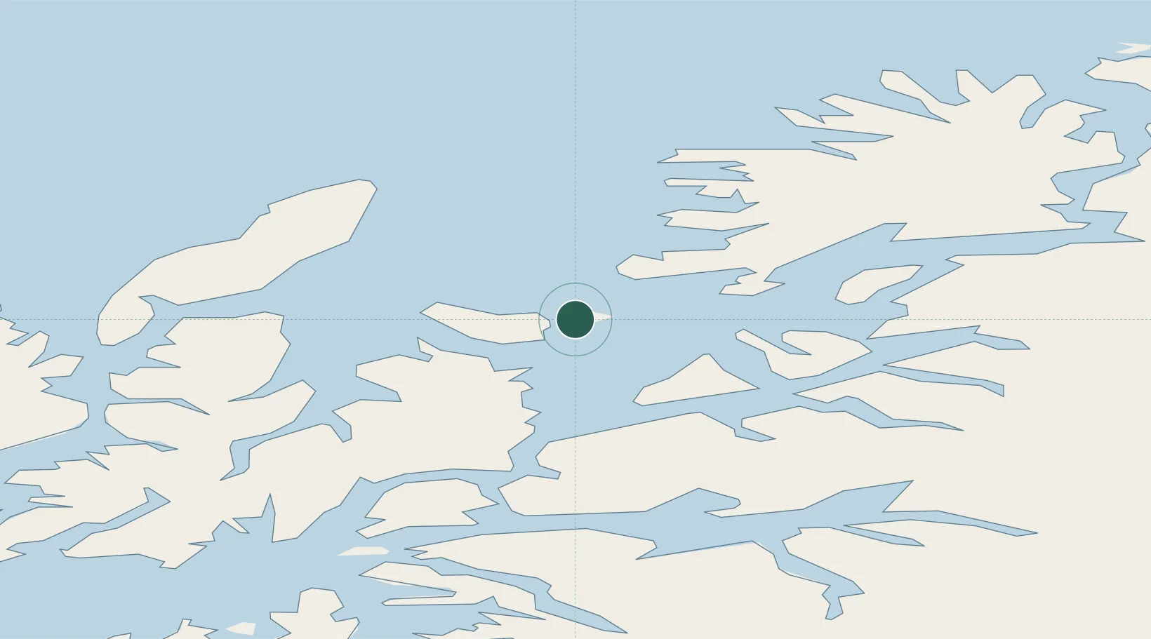
Nearby Logistics Neighbours

Cities
  1. 1Bjarkøy7 km
  2. 2Skrolsvik14 km
  3. 3Grøtavær17 km
  4. 4Harstad19 km
  5. 5Borkenes29 km
Nearest neighbours — logibook spatial index (haversine) over the source coordinates
Ports
  1. 1Harstad17 km
  2. 2Ulvik47 km
  3. 3Andenes47 km
  4. 4Sjovegan47 km
  5. 5Lilandsgrunnen53 km
Nearest neighbours — logibook spatial index (haversine) over the source coordinates
Airports
  1. 1Andøya Airport, Andenes44 km
  2. 2Harstad/Narvik Airport51 km
  3. 3Bardufoss Airport76 km
  4. 4Stokmarknes Airport, Skagen78 km
  5. 5Svolvær Airport, Helle113 km
Nearest neighbours — logibook spatial index (haversine) over the source coordinates
Trade Zones
  1. 1Oulu Port Free Warehouse Area580 km
  2. 2Turku Free Zone981 km
  3. 3Free Zone of Lappeenranta1027 km
  4. 4Freeport of Hanko1056 km
  5. 5Port of Hamina-Kotka1059 km
Nearest neighbours — logibook spatial index (haversine) over the source coordinates
DatabookThe Record of Consolidated Knowledge
Norway beyond logistics?
Browse databook

All Sources

LocationsUN/LOCODE
UN/LOCODE — free
Portsthe NGA World Port Index
Public domain (US gov)
AirportsOurAirports
Public domain
Trade Zonesthe World Bank SEZ database
CC BY 4.0
Trade ZonesOpen Zone Map
CC BY
← Norway locations