Transport Functions
Port
Hub Profile
Region
19
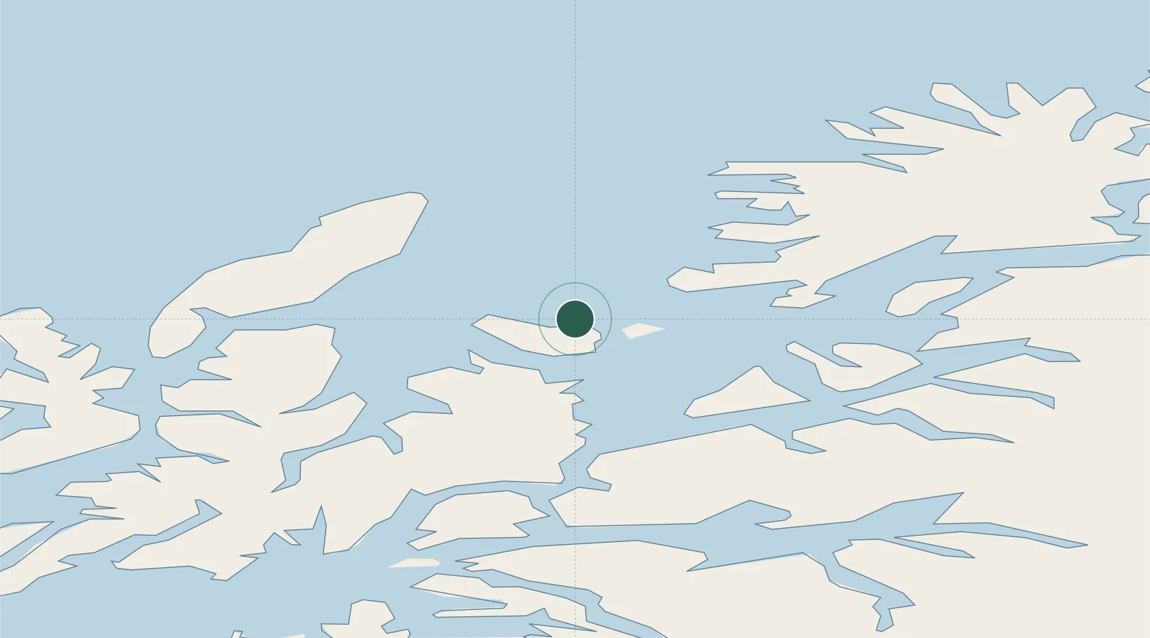
Location
Nearby Logistics Neighbours
Airports
- 1Andøya Airport, Andenes38 km
- 2Harstad/Narvik Airport55 km
- 3Stokmarknes Airport, Skagen75 km
- 4Bardufoss Airport80 km
- 5Svolvær Airport, Helle112 km
Trade Zones
- 1Oulu Port Free Warehouse Area587 km
- 2Turku Free Zone986 km
- 3Free Zone of Lappeenranta1033 km
- 4Freeport of Hanko1061 km
- 5Port of Hamina-Kotka1065 km
DatabookThe Record of Consolidated Knowledge
Norway beyond logistics?