Transport Functions
Multimodal
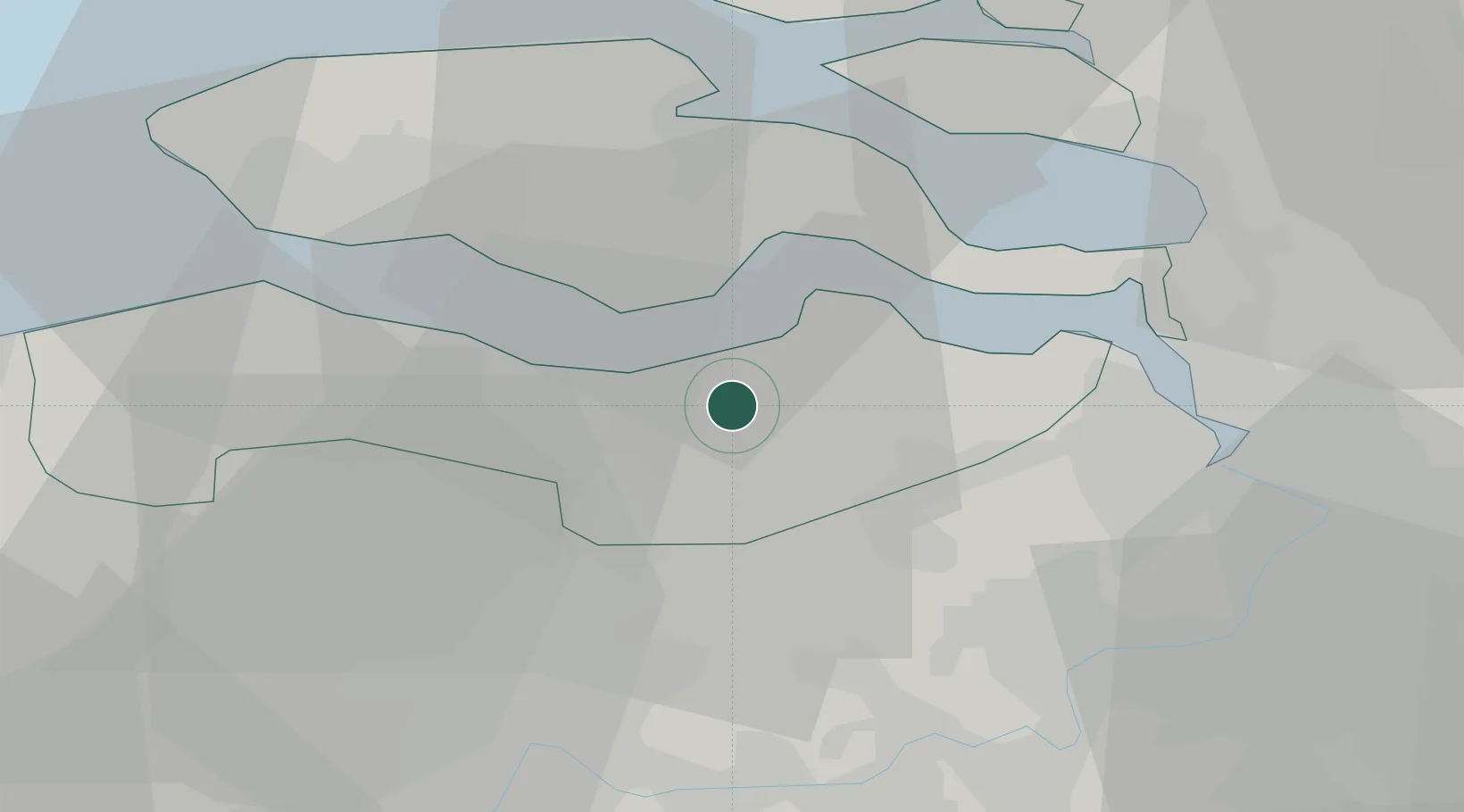
Hub Profile
Place type
Populated place
Region
Zeeland
Population
2,980
Time zone
Europe/Amsterdam
Elevation
4 m
Location
Nearby Logistics Neighbours
Cities
- 1Hengstdijk7 km
- 2Sluiskil7 km
- 3Zuiddorpe9 km
- 4Baarland10 km
- 5Hoek10 km
Ports
- 1Terneuzen8 km
- 2Hansweert16 km
- 3Vlissingen27 km
- 4Ghent31 km
- 5Antwerpen35 km
Airports
Trade Zones
- 1ZFU Tourcoing85 km
- 2ZFU Hem et Roubaix87 km
- 3ZFU Condé sur lEscaut98 km
- 4ZFU de Lille et de Loos99 km
- 5ZFU Saint Pol sur Mer115 km
DatabookThe Record of Consolidated Knowledge
Netherlands beyond logistics?