Transport Functions
Port
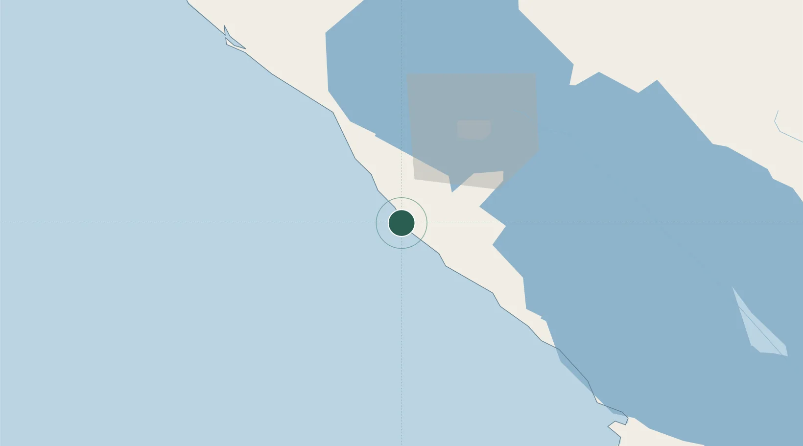
Hub Profile
Place type
Populated place
Region
Managua Department
Population
5,000
Time zone
America/Managua
Elevation
12 m
Location
Nearby Logistics Neighbours
Cities
- 1San Rafael del Sur10 km
- 2Diriamba32 km
- 3Jinotepe35 km
- 4Puerto Sandino51 km
- 5Tipitapa65 km
Ports
- 1Puerto Sandino52 km
- 2Corinto105 km
- 3Puerto De Hencan206 km
- 4La Union224 km
- 5Puntarenas272 km
Airports
DatabookThe Record of Consolidated Knowledge
Nicaragua beyond logistics?