Channel & Berth Profile
Pilotage, Tugs & Services
Pilotage compulsoryYES
Pilotage availableYES
Tug assistanceYES
Salvage tugsNO
Potable waterNO
MedicalYES
Garbage disposalNO
Facilities & Capabilities
Container—
Ro-Ro—
Liquid bulkYES
Dry bulk—
Oil terminal—
Break bulk—
Dry dock—
Repairs—
BunkeringNO
Rail linkYES
Dangerous cargo—
ISPS securityYES
Harbour Specifications
Harbour size
Very Small
Harbour type
Open Roadstead
Shelter
Good
Water body
Caribbean Sea; North Atlantic Ocean
Tidal range
0.3 m
Overhead limit
No
Pilotage
Yes
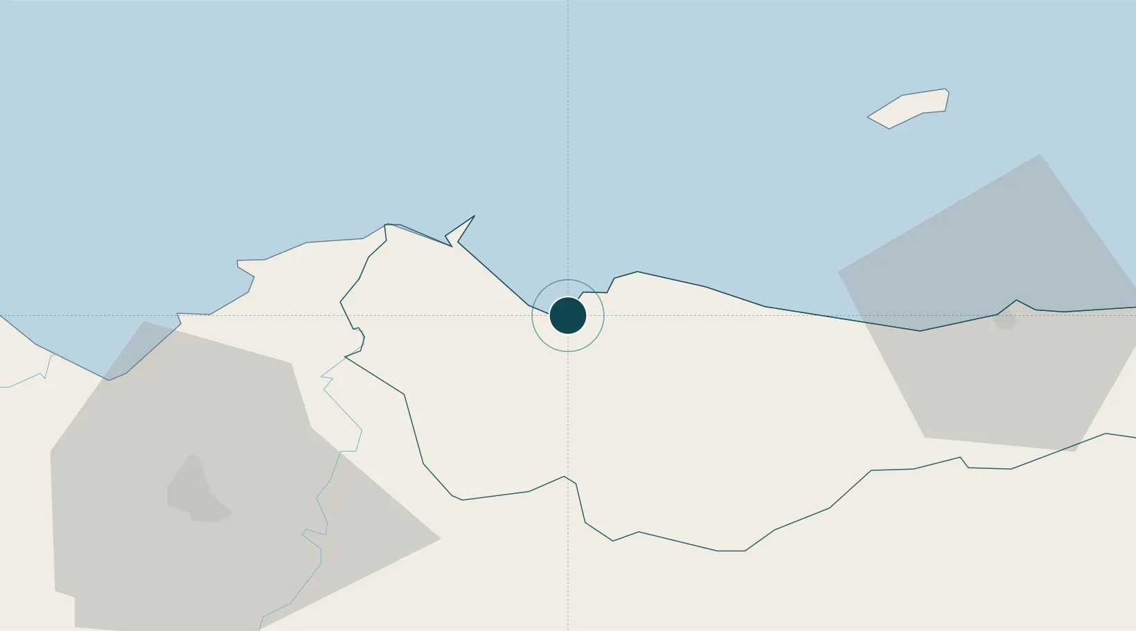
Location
Nearby Logistics Neighbours
Ports
- 1Puerto Cortes54 km
- 2La Ceiba70 km
- 3Coxen Hole113 km
- 4Puerto Barrios123 km
- 5Santo Tomas De Castilla125 km
Cities
- 1Rio Blanquito49 km
- 2Puerto Cortés49 km
- 3Rio Bijao52 km
- 4San Pedro Sula57 km
- 5El Progreso57 km
Airports
Trade Zones
DatabookThe Record of Consolidated Knowledge
Honduras beyond logistics?