Seaport · El Salvador
AcajutlaSVAQJ
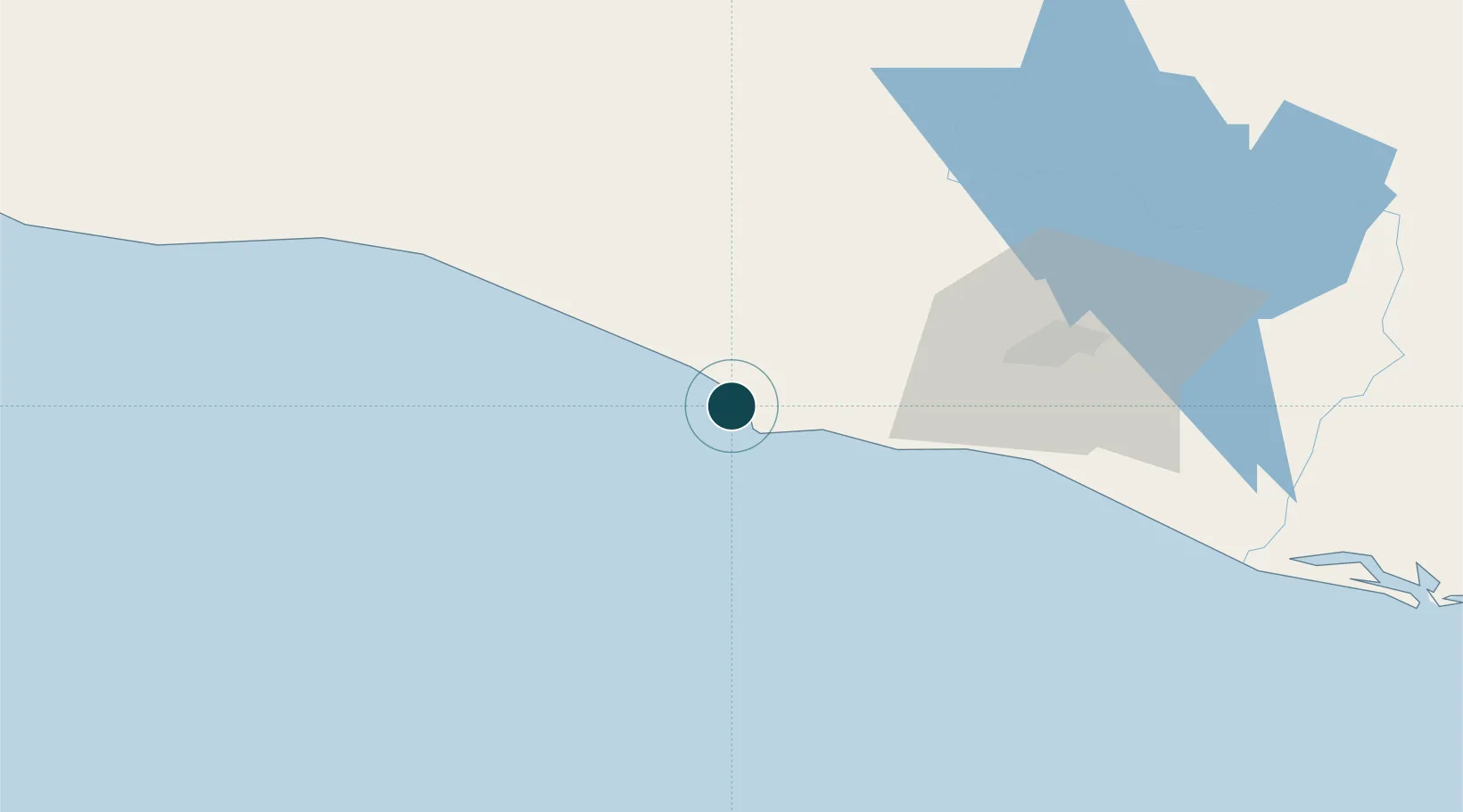
13.5833°, -89.8667°
1
Container terminals
55.8
Port liner connectivity
Channel & Berth Profile
Pilotage, Tugs & Services
Pilotage compulsoryYES
Pilotage availableYES
Pilotage advisableYES
Tug assistanceYES
Salvage tugsNO
Shore powerNO
Potable waterYES
Diesel bunkersYES
MedicalYES
Garbage disposalYES
Facilities & Capabilities
Container—
Ro-Ro—
Liquid bulk—
Dry bulk—
Oil terminal—
Break bulk—
Dry dock—
RepairsNO
BunkeringYES
Rail linkYES
Dangerous cargo—
ISPS security—
Harbour Specifications
Harbour size
Very Small
Harbour type
Coastal (Breakwater)
Shelter
Poor
Water body
North Pacific Ocean
Tidal range
2 m
Overhead limit
No
Pilotage
Yes
Liner Connectivity
55.8
PLSCI
Port Liner Shipping Connectivity Index for Acajutla, as published by UNCTAD for the latest available quarter. Higher values indicate stronger scheduled liner-shipping integration.
Shown relative to the highest per-port PLSCI in the dataset (1,657.9).
Location
Container Terminals · 1
PUERTO ACAJUTLA
PUACA COMISION EJECUTIVA PORTUARIA AUTONOMA (CEPA)
Nearby Logistics Neighbours
Ports
- 1Puerto Quetzal107 km
- 2La Union222 km
- 3Puerto De Hencan262 km
- 4Santo Tomas De Castilla271 km
- 5Puerto Barrios275 km
Cities
- 1Sacacoyo46 km
- 2Lourdes55 km
- 3Sitio del Nino57 km
- 4Santa Tecla58 km
- 5La Libertad61 km
Airports
Trade Zones
- 1Zona Franca 1049 km
- 2American Park Free Zone55 km
- 3Export Salva Free Zone57 km
- 4Zona Franca Santa Ana60 km
- 5Zona Franca Sam-Li64 km
DatabookThe Record of Consolidated Knowledge
El Salvador beyond logistics?