Transport Functions
Port
Hub Profile
Region
12
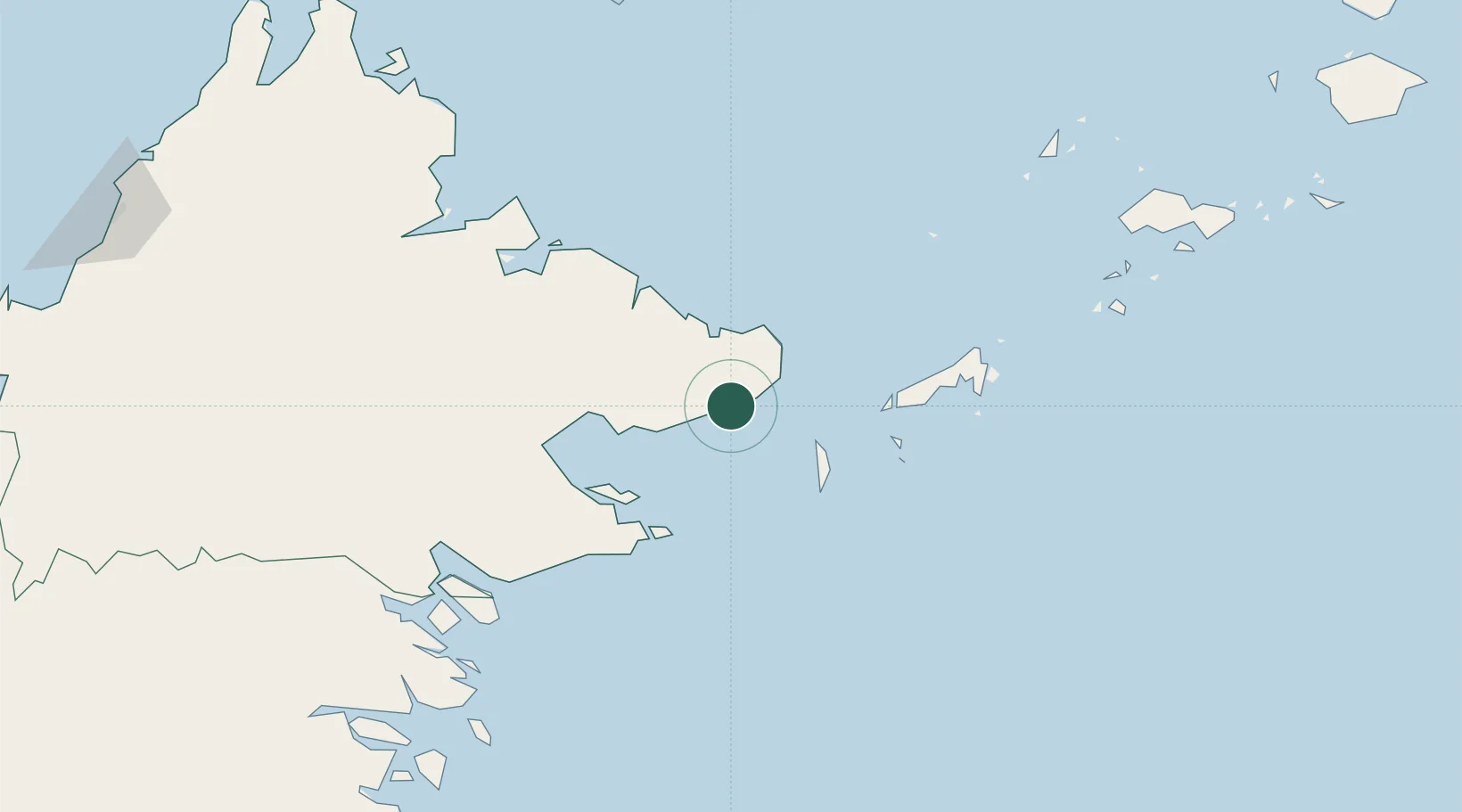
Location
Nearby Logistics Neighbours
Cities
- 1Lahad Datu, Sabah74 km
- 2Labuan Haji79 km
- 3Sandakan, Sabah135 km
- 4Tawau, Sabah156 km
- 5Beluran, Sabah188 km
Ports
- 1Bakapit52 km
- 2Lahad Datu80 km
- 3Mostyn97 km
- 4Pelabuhan Sandakan133 km
- 5Tawa157 km
Airports
- 1Tomanggong Airport56 km
- 2Sanga Sanga Airport79 km
- 3Lahad Datu Airport79 km
- 4Tawau Airport131 km
- 5Sandakan Airport142 km
Trade Zones
DatabookThe Record of Consolidated Knowledge
Malaysia beyond logistics?