Medium airport · Philippines

Sanga Sanga AirportRPMN
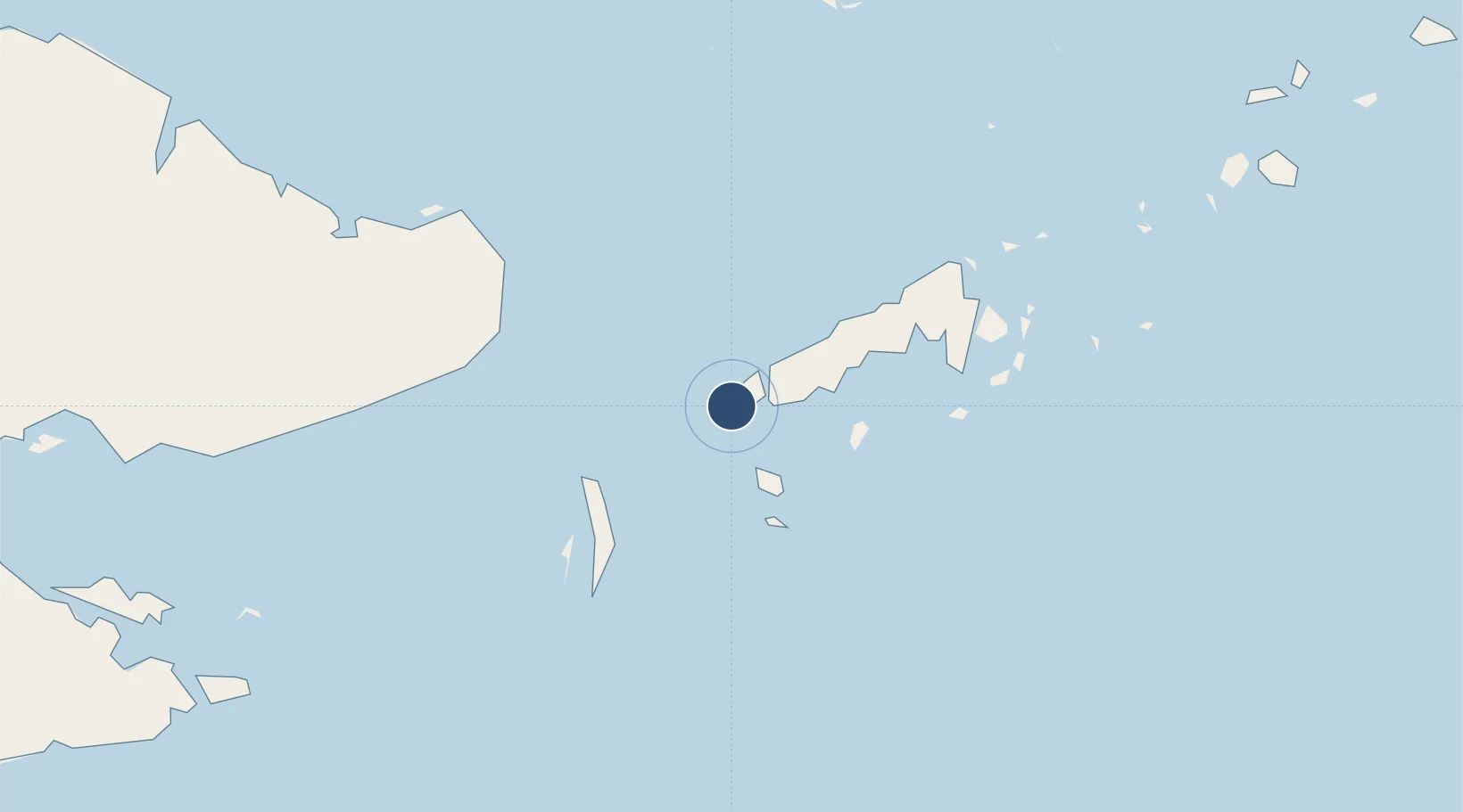
5.0482°, 119.7433°
6,102 ft
Longest runway
1
Runways
15 ft
Elevation

Runway & Layout

Sanga Sanga Airport runway & taxiway layout
Runway & taxiway layout — OpenStreetMap (ODbL) / OurAirports

Radio Frequencies

FSS
122.1 MHz
RDO
OurAirports

Runways · 1

RunwayDimensions SurfaceTrue headingLit
02/20 6,102 × 98ft Asphalt / concrete 018°
OurAirports

Airport Specifications

IATA code
TWT
OurAirports
ICAO code
RPMN
OurAirports
Airport class
Medium airport
OurAirports
Scheduled service
Yes
OurAirports
Runway surface
Asphalt / concrete
OurAirports
Served city
Bongao
OurAirports

Location

Location of RPMN
Natural Earth 10m (public domain) · Tawi-Tawi · RPMN · 5.05, 119.74GoogleOSMYandex

Nearby Logistics Neighbours

Airports
  1. 1Tomanggong Airport127 km
  2. 2Lahad Datu Airport157 km
  3. 3Jolo Airport179 km
  4. 4Tawau Airport197 km
  5. 5Sandakan Airport209 km
Nearest neighbours — logibook spatial index (haversine) over the source coordinates
Cities
  1. 1Sabahat79 km
  2. 2Labuan Haji138 km
  3. 3Lahad Datu, Sabah152 km
  4. 4Sandakan, Sabah203 km
  5. 5Tawau, Sabah224 km
Nearest neighbours — logibook spatial index (haversine) over the source coordinates
Ports
  1. 1Bakapit129 km
  2. 2Siasi131 km
  3. 3Lahad Datu158 km
  4. 4Mostyn170 km
  5. 5Jolo178 km
Nearest neighbours — logibook spatial index (haversine) over the source coordinates
Trade Zones
  1. 1Zamboanga City Special Economic Zone325 km
  2. 2Sabah Development Corridor418 km
  3. 3Rio Tuba Export Processing Zone465 km
  4. 4Brookes Point Agro-Industrial Economic Zone467 km
  5. 5Labuan Offshore Financial Centre499 km
Nearest neighbours — logibook spatial index (haversine) over the source coordinates
DatabookThe Record of Consolidated Knowledge
Philippines beyond logistics?
Browse databook

All Sources

AirportsOurAirports
Public domain
Portsthe NGA World Port Index
Public domain (US gov)
LocationsUN/LOCODE
UN/LOCODE — free
Trade Zonesthe World Bank SEZ database
CC BY 4.0
Trade ZonesOpen Zone Map
CC BY
InfrastructureOpenStreetMap
ODbL 1.0
← Philippines airports