Medium airport · Malaysia

Sandakan AirportWBKS
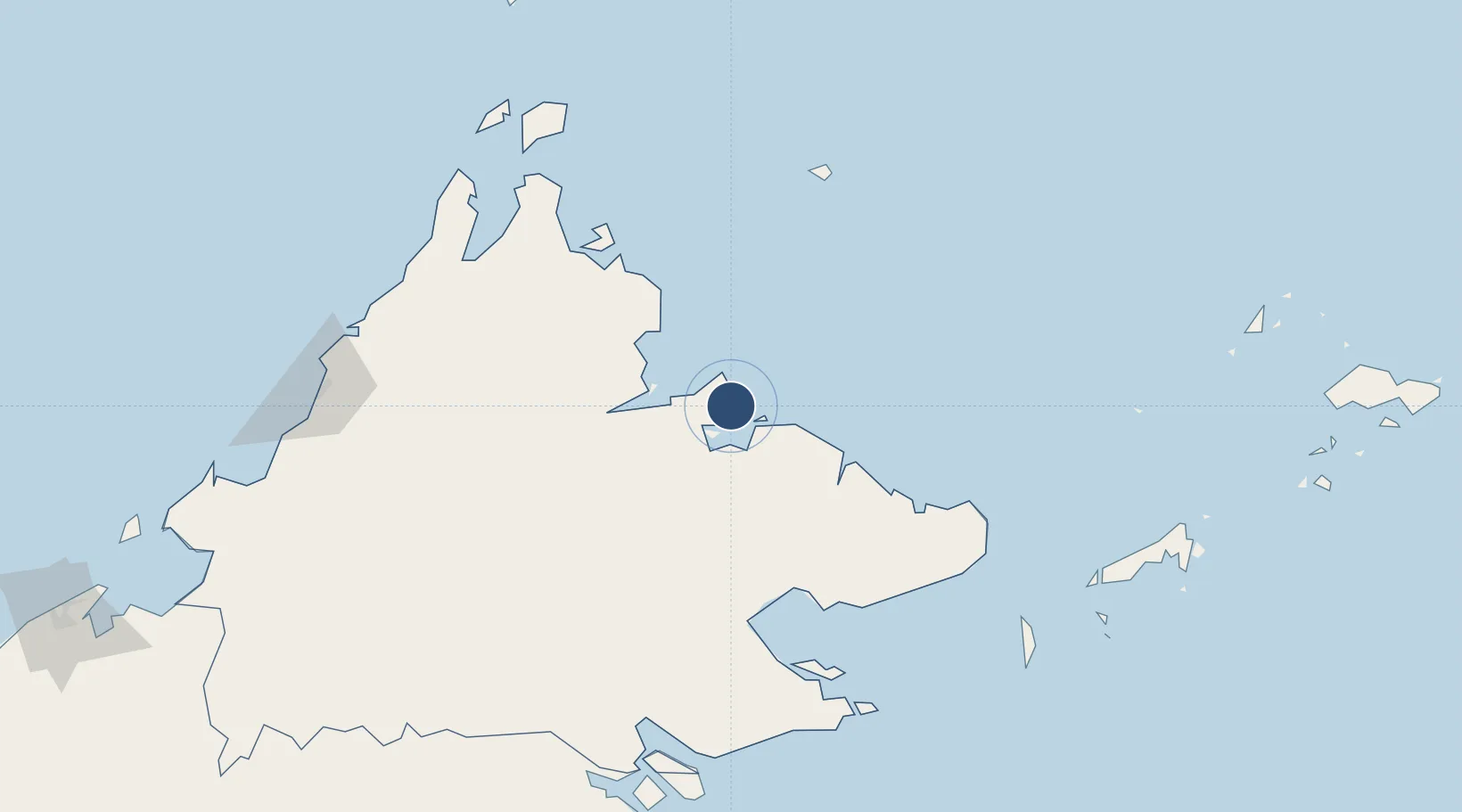
5.9009°, 118.0590°
8,202 ft
Longest runway
1
Runways
46 ft
Elevation

Runway & Layout

Sandakan Airport runway & taxiway layout
Runway & taxiway layout — OpenStreetMap (ODbL) / OurAirports

Radio Frequencies

TWR
121.05 MHz
GND
121.9 MHz
APP
123.2 MHz
OurAirports

Navaids

SN NDB Sandakan 340 kHz
VSN VOR-DME Sandakan 114.00 MHz
OurAirports

Runways · 1

RunwayDimensions SurfaceTrue headingLit
08/26 8,202 × 148ft Asphalt 081°
OurAirports

Airport Specifications

IATA code
SDK
OurAirports
ICAO code
WBKS
OurAirports
Airport class
Medium airport
OurAirports
Scheduled service
Yes
OurAirports
Runway surface
Asphalt
OurAirports
Served city
Sandakan
OurAirports

Location

Location of WBKS
Natural Earth 10m (public domain) · Sabah · WBKS · 5.90, 118.06GoogleOSMYandex

Nearby Logistics Neighbours

Airports
  1. 1Tomanggong Airport86 km
  2. 2Lahad Datu Airport101 km
  3. 3Kudat Airport177 km
  4. 4Tawau Airport177 km
  5. 5Sanga Sanga Airport209 km
Nearest neighbours — logibook spatial index (haversine) over the source coordinates
Cities
  1. 1Sandakan, Sabah9 km
  2. 2Beluran, Sabah56 km
  3. 3Lahad Datu, Sabah104 km
  4. 4Jambongan, Sabah105 km
  5. 5Sabahat142 km
Nearest neighbours — logibook spatial index (haversine) over the source coordinates
Ports
  1. 1Pelabuhan Sandakan10 km
  2. 2Lahad Datu102 km
  3. 3Bakapit121 km
  4. 4Mostyn137 km
  5. 5Kudat173 km
Nearest neighbours — logibook spatial index (haversine) over the source coordinates
Trade Zones
  1. 1Sabah Development Corridor220 km
  2. 2Rio Tuba Export Processing Zone302 km
  3. 3Labuan Offshore Financial Centre319 km
  4. 4Brookes Point Agro-Industrial Economic Zone322 km
  5. 5Muara Export Zone345 km
Nearest neighbours — logibook spatial index (haversine) over the source coordinates
DatabookThe Record of Consolidated Knowledge
Malaysia beyond logistics?
Browse databook

All Sources

AirportsOurAirports
Public domain
Portsthe NGA World Port Index
Public domain (US gov)
LocationsUN/LOCODE
UN/LOCODE — free
Trade Zonesthe World Bank SEZ database
CC BY 4.0
Trade ZonesOpen Zone Map
CC BY
InfrastructureOpenStreetMap
ODbL 1.0
← Malaysia airports