UN/LOCODE hub · Malaysia
MYSDK
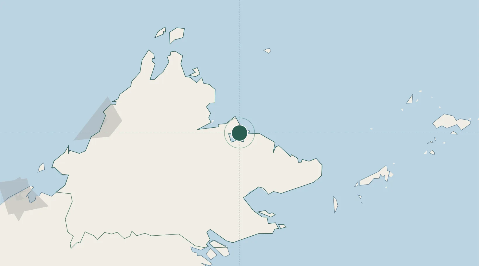
Sandakan, Sabah
5.8187°, 118.0798°
2
Transport functions
1
Container terminals
Transport Functions
Port
Airport
Hub Profile
Logistics facilities
5
Container terminals
1
Location
Nearby Logistics Neighbours
Cities
- 1Beluran, Sabah59 km
- 2Lahad Datu, Sabah95 km
- 3Jambongan, Sabah114 km
- 4Sabahat135 km
- 5Bedong160 km
Ports
- 1Lahad Datu93 km
- 2Bakapit112 km
- 3Mostyn128 km
- 4Tawa176 km
- 5Kudat180 km
Airports
- 1Sandakan Airport9 km
- 2Tomanggong Airport79 km
- 3Lahad Datu Airport92 km
- 4Tawau Airport168 km
- 5Kudat Airport184 km
Trade Zones
DatabookThe Record of Consolidated Knowledge
Malaysia beyond logistics?