UN/LOCODE hub · Malaysia
MYBEL

Beluran, Sabah

5.8833°, 117.5500°
1
Transport functions

Transport Functions

Port
UN/LOCODE

Hub Profile

Region
12
GeoNames

Location

Location of MYBEL
Natural Earth 10m (public domain) · 12 · MYBEL · 5.88, 117.55GoogleOSMYandex

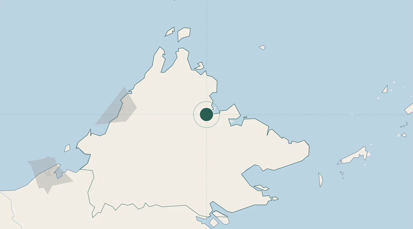
Nearby Logistics Neighbours

Cities
  1. 1Sandakan, Sabah59 km
  2. 2Jambongan, Sabah87 km
  3. 3Bedong105 km
  4. 4Kota Marudu111 km
  5. 5Lahad Datu, Sabah132 km
Nearest neighbours — logibook spatial index (haversine) over the source coordinates
Ports
  1. 1Pelabuhan Sandakan63 km
  2. 2Lahad Datu128 km
  3. 3Kudat136 km
  4. 4Mostyn154 km
  5. 5Bakapit155 km
Nearest neighbours — logibook spatial index (haversine) over the source coordinates
Airports
  1. 1Sandakan Airport56 km
  2. 2Lahad Datu Airport128 km
  3. 3Tomanggong Airport134 km
  4. 4Kudat Airport140 km
  5. 5Kota Kinabalu International Airport166 km
Nearest neighbours — logibook spatial index (haversine) over the source coordinates
Trade Zones
  1. 1Sabah Development Corridor163 km
  2. 2Labuan Offshore Financial Centre264 km
  3. 3Muara Export Zone290 km
  4. 4Terunjing Free Trade Zone290 km
  5. 5Rio Tuba Export Processing Zone296 km
Nearest neighbours — logibook spatial index (haversine) over the source coordinates
DatabookThe Record of Consolidated Knowledge
Malaysia beyond logistics?
Browse databook

All Sources

LocationsUN/LOCODE
UN/LOCODE — free
Portsthe NGA World Port Index
Public domain (US gov)
AirportsOurAirports
Public domain
Trade Zonesthe World Bank SEZ database
CC BY 4.0
Trade ZonesOpen Zone Map
CC BY
← Malaysia locations