Seaport · Malaysia

JohorMYJHB

1.4333°, 103.9000°
9.4 m
Channel depth
8.5
Port liner connectivity
Johor is also a UN/LOCODE logistics hub →

Channel & Berth Profile

SEA LEVEL (CD)CHANNEL BEDCargo pier · 4.9 mChannel · 9.4 mAnchorage · 9.4 mOil terminal · 14.0 m
NGA World Port Index

Pilotage, Tugs & Services

Pilotage compulsoryYES
Pilotage availableYES
Pilotage advisableYES
Local assistanceYES
Tug assistanceYES
Shore powerYES
Potable waterYES
MedicalYES
NGA World Port Index

Facilities & Capabilities

Container
Ro-Ro
Liquid bulk
Dry bulk
Oil terminal
Break bulk
Dry dockNO
RepairsNO
BunkeringYES
Rail linkYES
Dangerous cargo
ISPS security
NGA World Port Index

Harbour Specifications

Harbour size
Large
NGA World Port Index
Harbour type
River (Natural)
NGA World Port Index
Shelter
Fair
NGA World Port Index
Water body
Strait of Malacca; Indian Ocean
NGA World Port Index
Tidal range
3 m
NGA World Port Index
Overhead limit
Yes
NGA World Port Index
Pilotage
Yes
NGA World Port Index

Liner Connectivity

8.5
PLSCI

Port Liner Shipping Connectivity Index for Johor, as published by UNCTAD for the latest available quarter. Higher values indicate stronger scheduled liner-shipping integration.

Shown relative to the highest per-port PLSCI in the dataset (1,657.9).
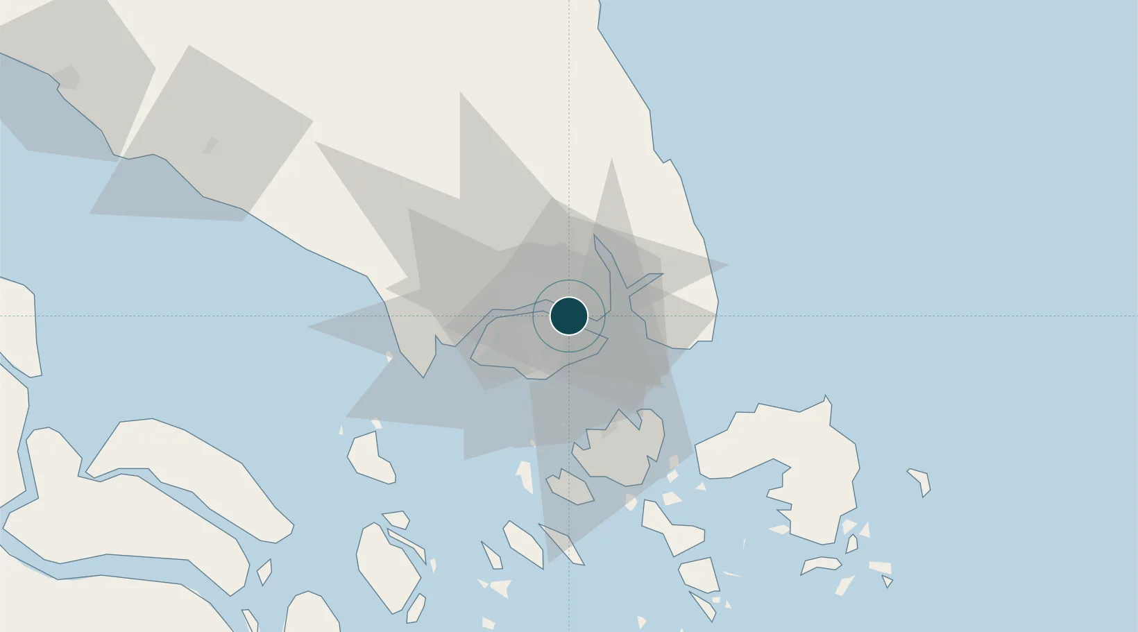
UNCTAD · Port Liner Shipping Connectivity Index

Location

Location of MYJHB
Natural Earth 10m (public domain) · Johor · MYJHB · 1.43, 103.90GoogleOSMYandex

Nearby Logistics Neighbours

Ports
  1. 1Keppel - (East Singapore)18 km
  2. 2Jurong Island25 km
  3. 3Pulau Bukom27 km
  4. 4Pulau Sebarok28 km
  5. 5Pulau Sambu30 km
Nearest neighbours — logibook spatial index (haversine) over the source coordinates
Cities
  1. 1Pasir Gudang, Johor3 km
  2. 2Kampung Tanjung Langsat14 km
  3. 3Taman Molek17 km
  4. 4Changi17 km
  5. 5Choa Chu Kang18 km
Nearest neighbours — logibook spatial index (haversine) over the source coordinates
Airports
  1. 1Seletar Airport4 km
  2. 2Paya Lebar Air Base8 km
  3. 3Sembawang Air Base10 km
  4. 4Singapore Changi Airport14 km
  5. 5Changi Air Base (East)16 km
Nearest neighbours — logibook spatial index (haversine) over the source coordinates
Trade Zones
  1. 1Punggol Digital District2 km
  2. 2Pasir Gudang Free Zone3 km
  3. 3Pasir Gudang Free Industrial Zone5 km
  4. 4Eastern Gate Development Flagship Zone7 km
  5. 5Sembawang Wharves Free Trade Zone8 km
Nearest neighbours — logibook spatial index (haversine) over the source coordinates
DatabookThe Record of Consolidated Knowledge
Malaysia beyond logistics?
Browse databook

All Sources

Portsthe NGA World Port Index
Public domain (US gov)
Logistics performanceUNCTAD
CC BY 3.0 IGO
AirportsOurAirports
Public domain
LocationsUN/LOCODE
UN/LOCODE — free
Trade Zonesthe World Bank SEZ database
CC BY 4.0
Trade ZonesOpen Zone Map
CC BY
← Malaysia ports