Economic Revitalization Project · Singapore

Punggol Digital District Under Development
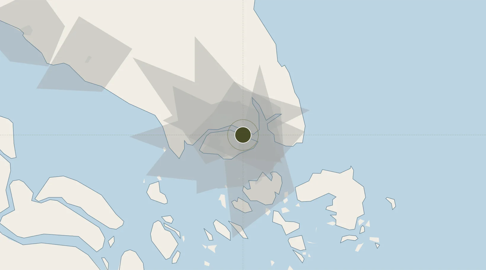
1.4161°, 103.9098°
50 ha
Zone area
2.2 km
Nearest port
4.8 km
Nearest airport

Gateway access

Nearest neighbours — logibook spatial index (haversine) over the source coordinates

Zone profile

Zone type
Economic Revitalization Project
Open Zone Map
Region
Johor
Open Zone Map
Status
Under Development
Open Zone Map
Management
Public-Private Partnership
Open Zone Map
Operator
JTC Corporation (JTC)
Open Zone Map
Legal framework
Free Trade Zones Act (Original Enactment: Act 30 of 1966); Revised Edition 31st May 2014
Open Zone Map

Location

Location of ozm-4131
Natural Earth 10m (public domain) · Johor · ozm-4131 · 1.42, 103.91GoogleOSMYandex

Nearby Logistics Neighbours

Ports
  1. 1Johor2 km
  2. 2Keppel - (East Singapore)16 km
  3. 3Jurong Island25 km
  4. 4Pulau Bukom26 km
  5. 5Pulau Sebarok27 km
Nearest neighbours — logibook spatial index (haversine) over the source coordinates
Airports
  1. 1Seletar Airport5 km
  2. 2Paya Lebar Air Base6 km
  3. 3Sembawang Air Base11 km
  4. 4Singapore Changi Airport12 km
  5. 5Changi Air Base (East)14 km
Nearest neighbours — logibook spatial index (haversine) over the source coordinates
Cities
  1. 1Pasir Gudang, Johor5 km
  2. 2Johor Bahru6 km
  3. 3Kampung Tanjung Langsat13 km
  4. 4Changi15 km
  5. 5Choa Chu Kang16 km
Nearest neighbours — logibook spatial index (haversine) over the source coordinates
Trade Zones
  1. 1Pasir Gudang Free Zone5 km
  2. 2Pasir Gudang Free Industrial Zone7 km
  3. 3Eastern Gate Development Flagship Zone9 km
  4. 4Tanjung Langsat Commercial Free Zone9 km
  5. 5Sembawang Wharves Free Trade Zone10 km
Nearest neighbours — logibook spatial index (haversine) over the source coordinates
DatabookThe Record of Consolidated Knowledge
Singapore beyond logistics?
Browse databook

All Sources

Trade ZonesOpen Zone Map
CC BY
Portsthe NGA World Port Index
Public domain (US gov)
AirportsOurAirports
Public domain
LocationsUN/LOCODE
UN/LOCODE — free
← Singapore trade zones