Diversified Zone · Malaysia

Eastern Gate Development Flagship Zone Under Development

1.4871°, 103.8751°
31,132 ha
Zone area
6.6 km
Nearest port
8.0 km
Nearest airport

Gateway access

Nearest neighbours — logibook spatial index (haversine) over the source coordinates

Zone profile

Zone type
Diversified Zone
Open Zone Map
Region
Johor
Open Zone Map
Status
Under Development
Open Zone Map
Management
Public
Open Zone Map
Operator
Iksander Development Regional Authority
Open Zone Map
Legal framework
Iksander Development Regional Authority Act of 2007 (Act 664), Free Trade Zone Act 1971, Free Zones Act 1990; Customs Act (Amendment) 2019.
Open Zone Map

Location

Location of ozm-2769
Natural Earth 10m (public domain) · Johor · ozm-2769 · 1.49, 103.88GoogleOSMYandex

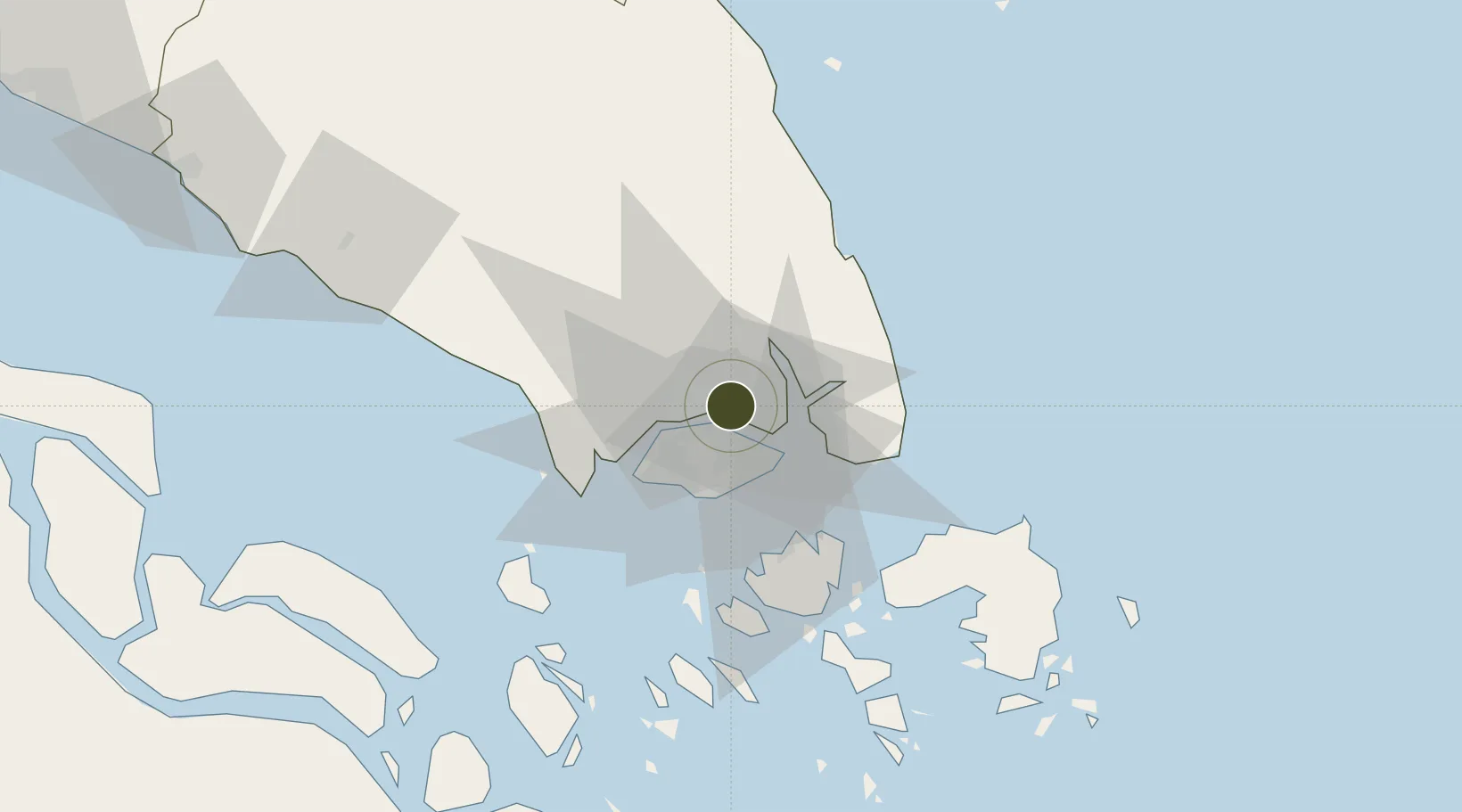
Nearby Logistics Neighbours

Ports
  1. 1Johor7 km
  2. 2Keppel - (East Singapore)23 km
  3. 3Jurong Island28 km
  4. 4Pulau Bukom31 km
  5. 5Pulau Sebarok33 km
Nearest neighbours — logibook spatial index (haversine) over the source coordinates
Airports
  1. 1Seletar Airport8 km
  2. 2Sembawang Air Base10 km
  3. 3Paya Lebar Air Base15 km
  4. 4Singapore Changi Airport20 km
  5. 5Tengah Air Base22 km
Nearest neighbours — logibook spatial index (haversine) over the source coordinates
Cities
  1. 1Johor Bahru3 km
  2. 2Pasir Gudang, Johor4 km
  3. 3Taman Molek11 km
  4. 4Kampung Tanjung Langsat16 km
  5. 5Ulu Tiram17 km
Nearest neighbours — logibook spatial index (haversine) over the source coordinates
Trade Zones
  1. 1Pasir Gudang Free Industrial Zone5 km
  2. 2Pasir Gudang Free Zone5 km
  3. 3Sembawang Wharves Free Trade Zone5 km
  4. 4Iskandar Halal Park7 km
  5. 5Punggol Digital District9 km
Nearest neighbours — logibook spatial index (haversine) over the source coordinates
DatabookThe Record of Consolidated Knowledge
Malaysia beyond logistics?
Browse databook

All Sources

Trade ZonesOpen Zone Map
CC BY
Portsthe NGA World Port Index
Public domain (US gov)
AirportsOurAirports
Public domain
LocationsUN/LOCODE
UN/LOCODE — free
← Malaysia trade zones