Medium airport · Singapore

Changi Air Base (East)WSAC

1.3441°, 104.0090°
22 ft
Elevation

Runway & Layout

Changi Air Base (East) runway & taxiway layout
Runway & taxiway layout — OpenStreetMap (ODbL) / OurAirports

Airport Specifications

ICAO code
WSAC
OurAirports
Airport class
Medium airport
OurAirports
Scheduled service
No
OurAirports
Served city
Singapore
OurAirports

Location

Location of WSAC
Natural Earth 10m (public domain) · Johor · WSAC · 1.34, 104.01GoogleOSMYandex

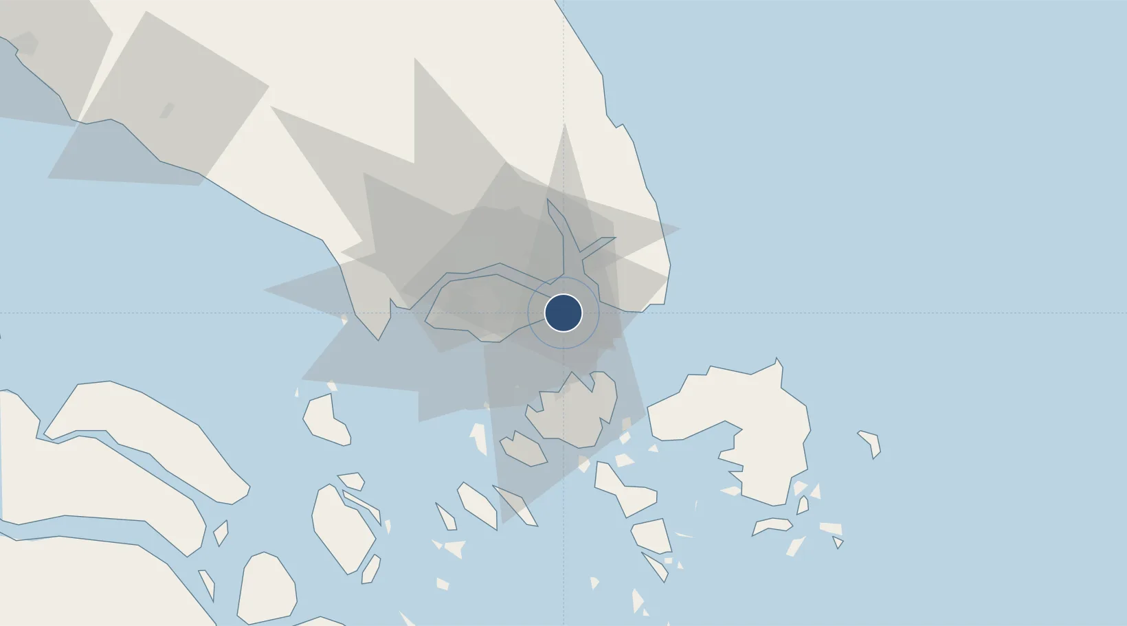
Nearby Logistics Neighbours

Airports
  1. 1Singapore Changi Airport2 km
  2. 2Paya Lebar Air Base11 km
  3. 3Seletar Airport18 km
  4. 4Sembawang Air Base24 km
  5. 5Hang Nadim International Airport28 km
Nearest neighbours — logibook spatial index (haversine) over the source coordinates
Cities
  1. 1Changi3 km
  2. 2Pengerang12 km
  3. 3Kampung Tanjung Langsat14 km
  4. 4Batu Ampar18 km
  5. 5Pasir Gudang, Johor18 km
Nearest neighbours — logibook spatial index (haversine) over the source coordinates
Ports
  1. 1Johor16 km
  2. 2Keppel - (East Singapore)19 km
  3. 3Pulau Sambu23 km
  4. 4Sekupang26 km
  5. 5Pulau Sebarok28 km
Nearest neighbours — logibook spatial index (haversine) over the source coordinates
Trade Zones
  1. 1Changi Airport Free Trade Zone3 km
  2. 2Airport Logistics Park Of Singapore3 km
  3. 3Punggol Digital District14 km
  4. 4Tanjung Langsat Commercial Free Zone14 km
  5. 5Pasir Gudang Free Zone17 km
Nearest neighbours — logibook spatial index (haversine) over the source coordinates
DatabookThe Record of Consolidated Knowledge
Singapore beyond logistics?
Browse databook

All Sources

AirportsOurAirports
Public domain
Portsthe NGA World Port Index
Public domain (US gov)
LocationsUN/LOCODE
UN/LOCODE — free
Trade Zonesthe World Bank SEZ database
CC BY 4.0
Trade ZonesOpen Zone Map
CC BY
InfrastructureOpenStreetMap
ODbL 1.0
← Singapore airports