UN/LOCODE hub · Singapore
SGCHG

Changi

1.3167°, 104.0000°
3
Transport functions

Transport Functions

Port
Road
Airport
UN/LOCODE

Location

Location of SGCHG
Natural Earth 10m (public domain) · South East · SGCHG · 1.32, 104.00GoogleOSMYandex

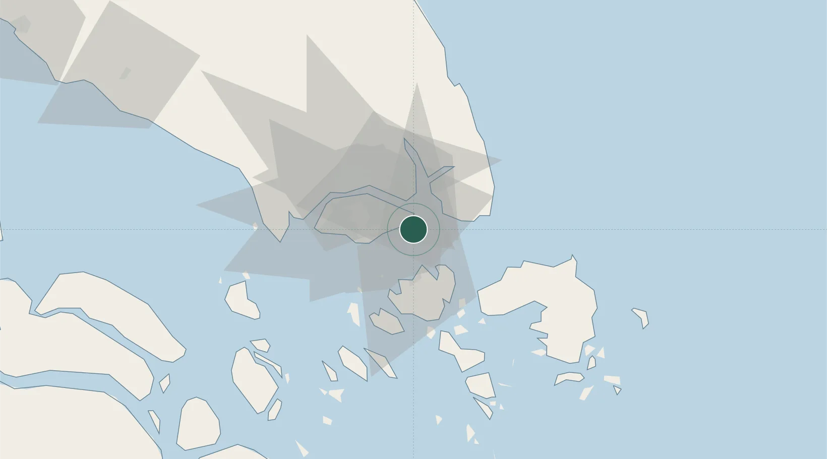
Nearby Logistics Neighbours

Cities
  1. 1Pengerang14 km
  2. 2Batu Ampar15 km
  3. 3Kampung Tanjung Langsat17 km
  4. 4Choa Chu Kang17 km
  5. 5Clementi17 km
Nearest neighbours — logibook spatial index (haversine) over the source coordinates
Ports
  1. 1Keppel - (East Singapore)17 km
  2. 2Johor17 km
  3. 3Pulau Sambu20 km
  4. 4Sekupang22 km
  5. 5Pulau Sebarok26 km
Nearest neighbours — logibook spatial index (haversine) over the source coordinates
Airports
  1. 1Changi Air Base (East)3 km
  2. 2Singapore Changi Airport4 km
  3. 3Paya Lebar Air Base11 km
  4. 4Seletar Airport18 km
  5. 5Sembawang Air Base24 km
Nearest neighbours — logibook spatial index (haversine) over the source coordinates
Trade Zones
  1. 1Changi Airport Free Trade Zone5 km
  2. 2Airport Logistics Park Of Singapore6 km
  3. 3Punggol Digital District15 km
  4. 4Tanjung Langsat Commercial Free Zone17 km
  5. 5Union Industrial Park17 km
Nearest neighbours — logibook spatial index (haversine) over the source coordinates
DatabookThe Record of Consolidated Knowledge
Singapore beyond logistics?
Browse databook

All Sources

LocationsUN/LOCODE
UN/LOCODE — free
Portsthe NGA World Port Index
Public domain (US gov)
AirportsOurAirports
Public domain
Trade Zonesthe World Bank SEZ database
CC BY 4.0
Trade ZonesOpen Zone Map
CC BY
← Singapore locations