Channel & Berth Profile
Pilotage, Tugs & Services
Pilotage compulsoryYES
Pilotage availableYES
Pilotage advisableYES
Tug assistanceYES
Shore powerYES
Potable waterYES
Diesel bunkersYES
MedicalYES
Garbage disposalYES
Facilities & Capabilities
Container—
Ro-Ro—
Liquid bulk—
Dry bulk—
Oil terminal—
Break bulk—
Dry dock—
RepairsNO
BunkeringYES
Rail link—
Dangerous cargo—
ISPS security—
Harbour Specifications
Harbour size
Small
Harbour type
Open Roadstead
Shelter
Fair
Water body
Strait of Malacca; Indian Ocean
Overhead limit
No
Pilotage
Yes
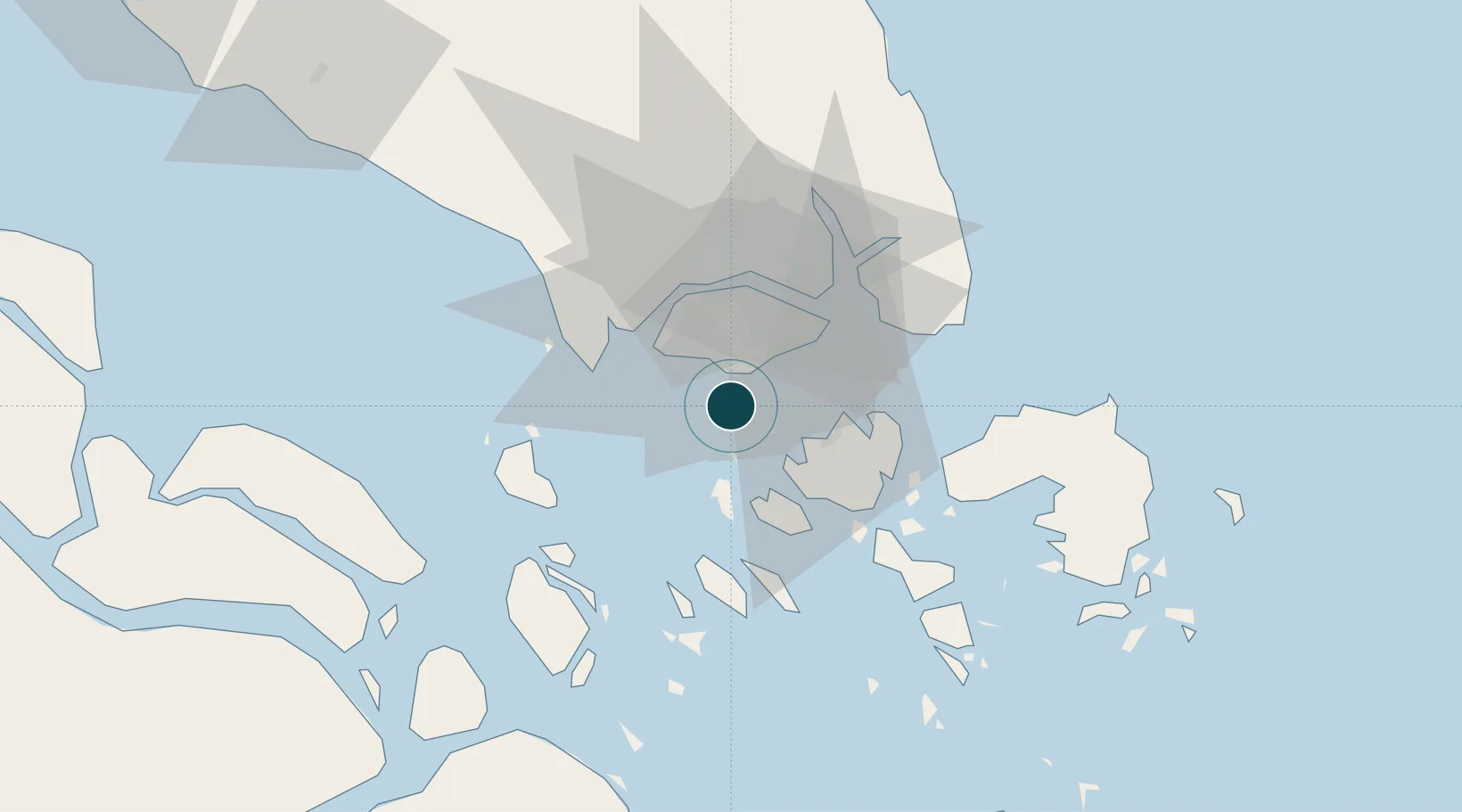
Location
Nearby Logistics Neighbours
Ports
- 1Pulau Bukom5 km
- 2Keppel - (East Singapore)11 km
- 3Pulau Sambu12 km
- 4Jurong Island12 km
- 5Sekupang15 km
Cities
- 1Pasir Panjang Wharves8 km
- 2Bukit Merah Estate9 km
- 3PASIR PANJANG Terminal10 km
- 4Choa Chu Kang11 km
- 5Clementi11 km
Airports
- 1Paya Lebar Air Base22 km
- 2Tengah Air Base23 km
- 3Sembawang Air Base25 km
- 4Seletar Airport25 km
- 5Singapore Changi Airport27 km
DatabookThe Record of Consolidated Knowledge
Singapore beyond logistics?