Medium airport · Singapore
Paya Lebar Air BaseWSAP
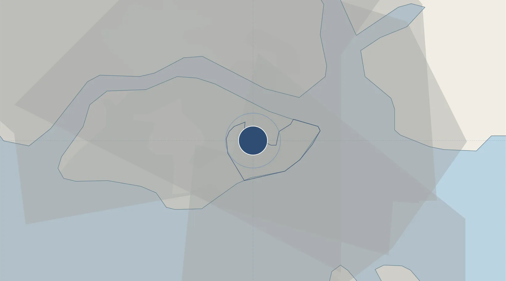
1.3604°, 103.9100°
12,401 ft
Longest runway
1
Runways
65 ft
Elevation
Runway & Layout

Radio Frequencies
ATIS
148.9 MHz
TWR
118.05 MHz
GND
118.05 MHz
APP
119.9 MHz
ACC
127.3 MHz
SINGAPORE RADAR
OPS
34.94 MHz
AMC OPS
Navaids
PLA TACAN Paya Lebar 116.30 MHz
PU VOR-DME Papa Uniform 115.10 MHz
SJ VOR-DME Sinjon 113.50 MHz
Runways · 1
| Runway | Dimensions | Surface | True heading | Lit |
|---|---|---|---|---|
| 02/20 | 12,401 × 200ft | Asphalt | 023° | ✓ |
Airport Specifications
IATA code
QPG
ICAO code
WSAP
Airport class
Medium airport
Scheduled service
No
Runway surface
Asphalt
Served city
Paya Lebar
Location
Nearby Logistics Neighbours
Airports
- 1Seletar Airport8 km
- 2Singapore Changi Airport9 km
- 3Changi Air Base (East)11 km
- 4Sembawang Air Base13 km
- 5Tengah Air Base23 km
Cities
- 1Choa Chu Kang11 km
- 2Clementi11 km
- 3West Coast Town11 km
- 4Pasir Gudang, Johor11 km
- 5Changi11 km
Ports
- 1Johor8 km
- 2Keppel - (East Singapore)11 km
- 3Pulau Bukom21 km
- 4Jurong Island21 km
- 5Pulau Sambu22 km
Trade Zones
DatabookThe Record of Consolidated Knowledge
Singapore beyond logistics?