UN/LOCODE hub · Malaysia
MYPGU

Pasir Gudang, Johor

1.4566°, 103.8919°
1
Transport functions
1
Container terminals

Transport Functions

Port
UN/LOCODE

Hub Profile

Logistics facilities
26
UN/LOCODE
Container terminals
1
UN/LOCODE

Location

Location of MYPGU
Natural Earth 10m (public domain) · Johor · MYPGU · 1.46, 103.89GoogleOSMYandex

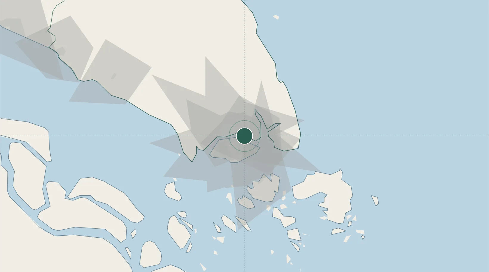
Nearby Logistics Neighbours

Cities
  1. 1Johor Bahru2 km
  2. 2Kampung Tanjung Langsat14 km
  3. 3Taman Molek15 km
  4. 4Changi20 km
  5. 5Choa Chu Kang20 km
Nearest neighbours — logibook spatial index (haversine) over the source coordinates
Ports
  1. 1Johor3 km
  2. 2Keppel - (East Singapore)20 km
  3. 3Jurong Island26 km
  4. 4Pulau Bukom29 km
  5. 5Pulau Sebarok30 km
Nearest neighbours — logibook spatial index (haversine) over the source coordinates
Airports
  1. 1Seletar Airport5 km
  2. 2Sembawang Air Base9 km
  3. 3Paya Lebar Air Base11 km
  4. 4Singapore Changi Airport16 km
  5. 5Changi Air Base (East)18 km
Nearest neighbours — logibook spatial index (haversine) over the source coordinates
Trade Zones
  1. 1Pasir Gudang Free Zone2 km
  2. 2Eastern Gate Development Flagship Zone4 km
  3. 3Pasir Gudang Free Industrial Zone4 km
  4. 4Punggol Digital District5 km
  5. 5Sembawang Wharves Free Trade Zone7 km
Nearest neighbours — logibook spatial index (haversine) over the source coordinates
DatabookThe Record of Consolidated Knowledge
Malaysia beyond logistics?
Browse databook

All Sources

LocationsUN/LOCODE
UN/LOCODE — free
Portsthe NGA World Port Index
Public domain (US gov)
AirportsOurAirports
Public domain
Trade Zonesthe World Bank SEZ database
CC BY 4.0
Trade ZonesOpen Zone Map
CC BY
← Malaysia locations