Large airport · Singapore
Singapore Changi AirportWSSS
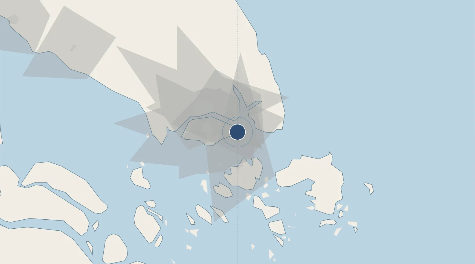
1.3502°, 103.9940°
13,123 ft
Longest runway
2
Runways
22 ft
Elevation
Runway & Layout

Radio Frequencies
ATIS
128.6 MHz
TWR
118.6 MHz
GND
124.3 MHz
CLD
121.65 MHz
CLNC DEL
A/D
120.3 MHz
APP/DEP
ARR
119.3 MHz
Navaids
BED NDB Bedok 232 kHz
VTK VOR-DME Tekong 116.50 MHz
Runways · 2
| Runway | Dimensions | Surface | True heading | Lit |
|---|---|---|---|---|
| 02C/20C | 13,123 × 197ft | Asphalt / concrete | 023° | ✓ |
| 02L/20R | 13,123 × 197ft | Asphalt / concrete | 023° | ✓ |
Airport Specifications
IATA code
SIN
ICAO code
WSSS
Airport class
Large airport
Scheduled service
Yes
Runway surface
Asphalt / concrete
Served city
Singapore
Location
Nearby Logistics Neighbours
Airports
- 1Changi Air Base (East)2 km
- 2Paya Lebar Air Base9 km
- 3Seletar Airport16 km
- 4Sembawang Air Base22 km
- 5Hang Nadim International Airport29 km
Cities
- 1Changi4 km
- 2Kampung Tanjung Langsat13 km
- 3Pengerang14 km
- 4Pasir Gudang, Johor16 km
- 5Choa Chu Kang18 km
Ports
- 1Johor14 km
- 2Keppel - (East Singapore)18 km
- 3Pulau Sambu23 km
- 4Sekupang26 km
- 5Pulau Sebarok27 km
Trade Zones
DatabookThe Record of Consolidated Knowledge
Singapore beyond logistics?