Free Trade Zone · Malaysia

Pasir Gudang Free Industrial Zone Active
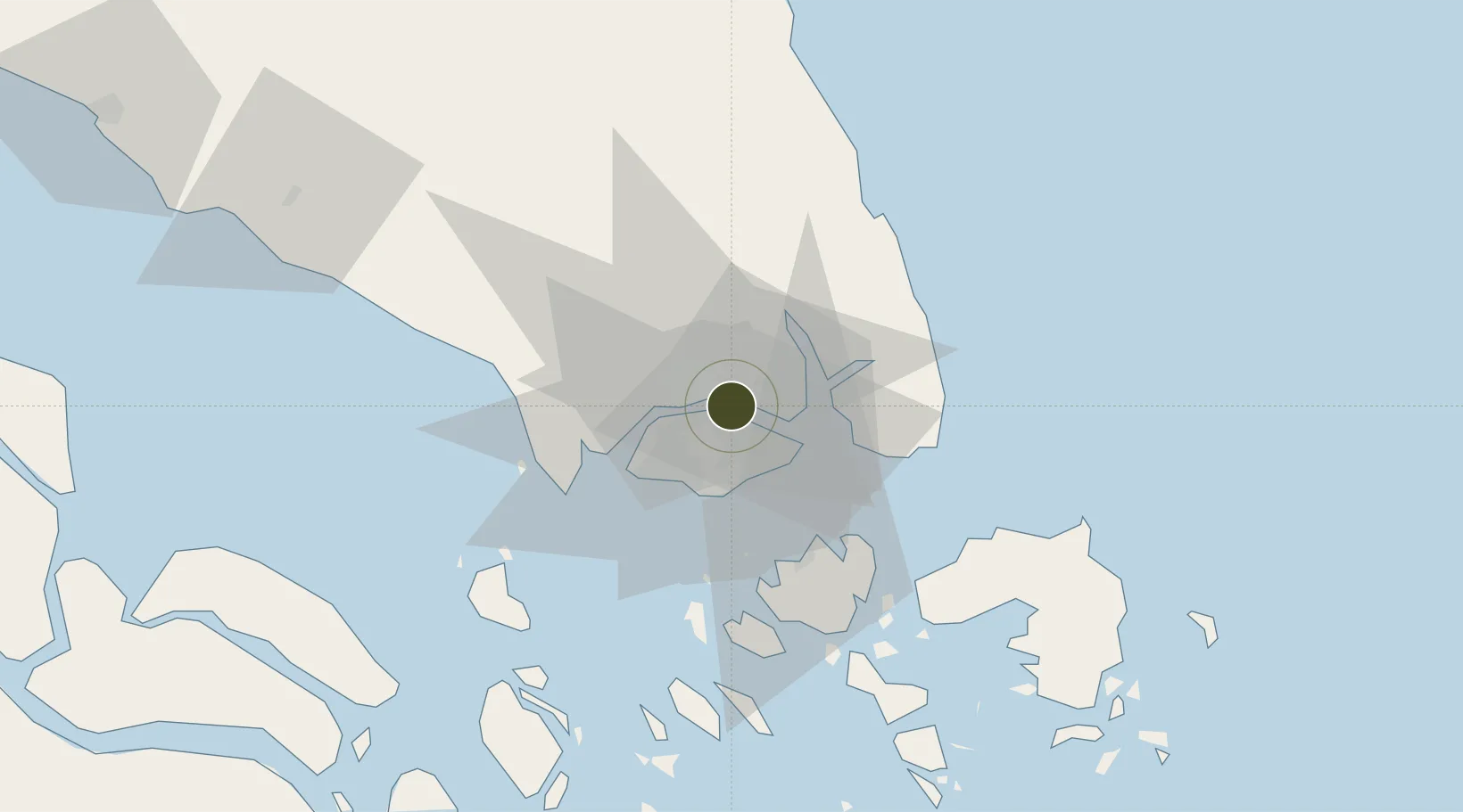
1.4519°, 103.8560°
75 ha
Zone area
5.3 km
Nearest port
4.2 km
Nearest airport

Gateway access

Nearest neighbours — logibook spatial index (haversine) over the source coordinates

Zone profile

Zone type
Free Trade Zone
Open Zone Map
Region
Johor
Open Zone Map
Status
Active
Open Zone Map
Management
Public
Open Zone Map
Operator
Johor Port Ltd.
Open Zone Map
Legal framework
Free Zones Act of 1990 (Act 438)
Open Zone Map

Location

Location of ozm-2795
Natural Earth 10m (public domain) · Johor · ozm-2795 · 1.45, 103.86GoogleOSMYandex

Nearby Logistics Neighbours

Ports
  1. 1Johor5 km
  2. 2Keppel - (East Singapore)19 km
  3. 3Jurong Island23 km
  4. 4Pulau Bukom26 km
  5. 5Pulau Sebarok29 km
Nearest neighbours — logibook spatial index (haversine) over the source coordinates
Airports
  1. 1Seletar Airport4 km
  2. 2Sembawang Air Base6 km
  3. 3Paya Lebar Air Base12 km
  4. 4Tengah Air Base18 km
  5. 5Singapore Changi Airport19 km
Nearest neighbours — logibook spatial index (haversine) over the source coordinates
Cities
  1. 1Johor Bahru3 km
  2. 2Pasir Gudang, Johor4 km
  3. 3Taman Molek13 km
  4. 4Kampung Tanjung Langsat18 km
  5. 5Choa Chu Kang19 km
Nearest neighbours — logibook spatial index (haversine) over the source coordinates
Trade Zones
  1. 1Sembawang Wharves Free Trade Zone3 km
  2. 2Eastern Gate Development Flagship Zone5 km
  3. 3Pasir Gudang Free Zone6 km
  4. 4Punggol Digital District7 km
  5. 5Stulang Laut Duty Free Area In Johor Bahru8 km
Nearest neighbours — logibook spatial index (haversine) over the source coordinates
DatabookThe Record of Consolidated Knowledge
Malaysia beyond logistics?
Browse databook

All Sources

Trade ZonesOpen Zone Map
CC BY
Portsthe NGA World Port Index
Public domain (US gov)
AirportsOurAirports
Public domain
LocationsUN/LOCODE
UN/LOCODE — free
← Malaysia trade zones