UN/LOCODE hub · Malaysia
MYTOL

Taman Molek

1.5500°, 103.8000°
1
Transport functions

Transport Functions

Multimodal
UN/LOCODE

Hub Profile

Place type
Populated place
GeoNames
Region
Johor
GeoNames
Time zone
Asia/Kuala_Lumpur
GeoNames
Elevation
31 m
GeoNames

Location

Location of MYTOL
Natural Earth 10m (public domain) · Johor · MYTOL · 1.55, 103.80GoogleOSMYandex

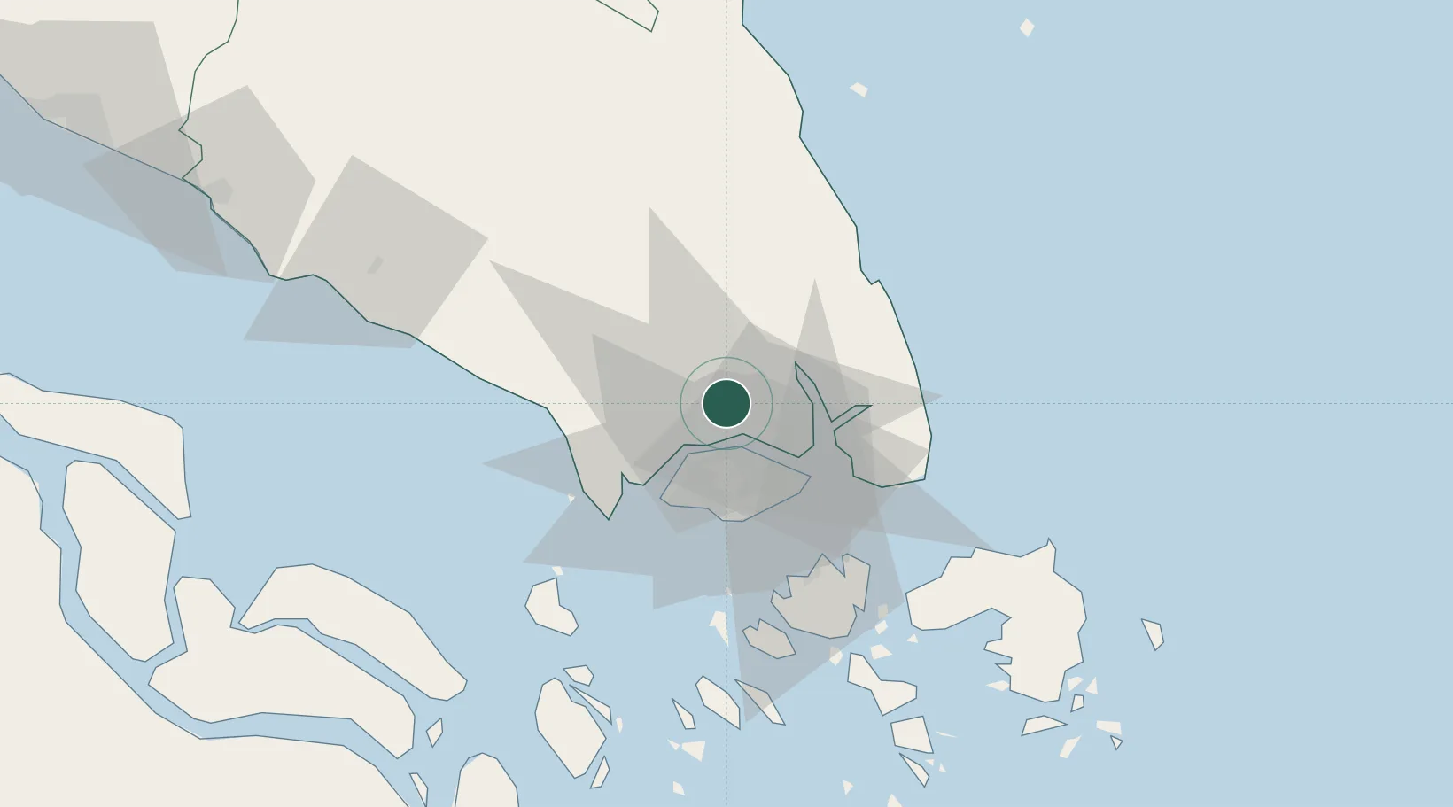
Nearby Logistics Neighbours

Cities
  1. 1Ulu Tiram10 km
  2. 2Johor Bahru13 km
  3. 3Pasir Gudang, Johor15 km
  4. 4Tampoi15 km
  5. 5Senai18 km
Nearest neighbours — logibook spatial index (haversine) over the source coordinates
Ports
  1. 1Johor17 km
  2. 2Keppel - (East Singapore)30 km
  3. 3Jurong Island31 km
  4. 4Pulau Bukom35 km
  5. 5Tanjung Pelepas36 km
Nearest neighbours — logibook spatial index (haversine) over the source coordinates
Airports
  1. 1Sembawang Air Base14 km
  2. 2Seletar Airport17 km
  3. 3Senai International Airport18 km
  4. 4Tengah Air Base21 km
  5. 5Paya Lebar Air Base24 km
Nearest neighbours — logibook spatial index (haversine) over the source coordinates
Trade Zones
  1. 1Stulang Laut Duty Free Area In Johor Bahru9 km
  2. 2Johor Bahru Duty Free Zone9 km
  3. 3Sembawang Wharves Free Trade Zone11 km
  4. 4Eastern Gate Development Flagship Zone11 km
  5. 5Iskander Development Region12 km
Nearest neighbours — logibook spatial index (haversine) over the source coordinates
DatabookThe Record of Consolidated Knowledge
Malaysia beyond logistics?
Browse databook

All Sources

LocationsUN/LOCODE
UN/LOCODE — free
Portsthe NGA World Port Index
Public domain (US gov)
AirportsOurAirports
Public domain
Trade Zonesthe World Bank SEZ database
CC BY 4.0
Trade ZonesOpen Zone Map
CC BY
← Malaysia locations