Medium airport · Singapore

Sembawang Air BaseWSAG
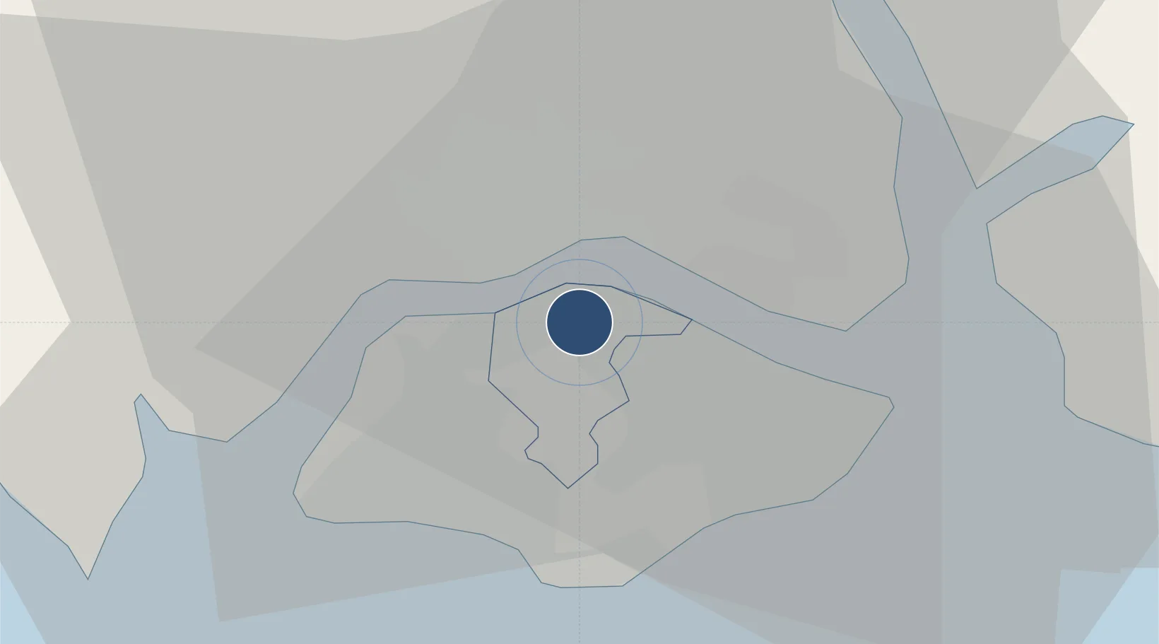
1.4253°, 103.8130°
6,255 ft
Longest runway
2
Runways
86 ft
Elevation

Runway & Layout

Sembawang Air Base runway & taxiway layout
Runway & taxiway layout — OpenStreetMap (ODbL) / OurAirports

Radio Frequencies

ATIS
149.25 MHz
TWR
129.7 MHz
GND
28.39 MHz
A/D
120.3 MHz
SINGAPORE APP/DEP
OurAirports

Navaids

AG NDB Sembawang 325 kHz
OurAirports

Runways · 2

RunwayDimensions SurfaceTrue headingLit
04/22 6,255 × 100ft Asphalt 043°
05/23 3,400 × 100ft Asphalt 047°
OurAirports

Airport Specifications

ICAO code
WSAG
OurAirports
Airport class
Medium airport
OurAirports
Scheduled service
No
OurAirports
Runway surface
Asphalt
OurAirports
Served city
Sembawang
OurAirports

Location

Location of WSAG
Natural Earth 10m (public domain) · North West · WSAG · 1.43, 103.81GoogleOSMYandex

Nearby Logistics Neighbours

Airports
  1. 1Seletar Airport6 km
  2. 2Tengah Air Base12 km
  3. 3Paya Lebar Air Base13 km
  4. 4Singapore Changi Airport22 km
  5. 5Changi Air Base (East)24 km
Nearest neighbours — logibook spatial index (haversine) over the source coordinates
Cities
  1. 1Johor Bahru9 km
  2. 2Pasir Gudang, Johor9 km
  3. 3Taman Molek14 km
  4. 4Bukit Merah Estate16 km
  5. 5Tampoi16 km
Nearest neighbours — logibook spatial index (haversine) over the source coordinates
Ports
  1. 1Johor10 km
  2. 2Keppel - (East Singapore)16 km
  3. 3Jurong Island18 km
  4. 4Pulau Bukom22 km
  5. 5Pulau Sebarok25 km
Nearest neighbours — logibook spatial index (haversine) over the source coordinates
Trade Zones
  1. 1Sembawang Wharves Free Trade Zone5 km
  2. 2Pasir Gudang Free Industrial Zone6 km
  3. 3Stulang Laut Duty Free Area In Johor Bahru6 km
  4. 4Johor Bahru Duty Free Zone6 km
  5. 5Eastern Gate Development Flagship Zone10 km
Nearest neighbours — logibook spatial index (haversine) over the source coordinates
DatabookThe Record of Consolidated Knowledge
Singapore beyond logistics?
Browse databook

All Sources

AirportsOurAirports
Public domain
Portsthe NGA World Port Index
Public domain (US gov)
LocationsUN/LOCODE
UN/LOCODE — free
Trade Zonesthe World Bank SEZ database
CC BY 4.0
Trade ZonesOpen Zone Map
CC BY
InfrastructureOpenStreetMap
ODbL 1.0
← Singapore airports