Seaport · Singapore
Jurong IslandSGJUR
1.2833°, 103.7333°
14.0 m
Channel depth
26.4
Port liner connectivity
Channel & Berth Profile
Pilotage, Tugs & Services
Pilotage compulsoryYES
Pilotage availableYES
Pilotage advisableYES
Tug assistanceYES
Shore powerYES
Potable waterYES
Diesel bunkersYES
MedicalYES
Garbage disposalYES
Facilities & Capabilities
Container—
Ro-Ro—
Liquid bulk—
Dry bulk—
Oil terminal—
Break bulk—
Dry dockNO
RepairsNO
BunkeringYES
Rail link—
Dangerous cargo—
ISPS security—
Harbour Specifications
Harbour size
Large
Harbour type
Coastal (Natural)
Shelter
Good
Water body
Strait of Malacca; Indian Ocean
Tidal range
1 m
Pilotage
Yes
Liner Connectivity
26.4
PLSCI
Port Liner Shipping Connectivity Index for Jurong Island, as published by UNCTAD for the latest available quarter. Higher values indicate stronger scheduled liner-shipping integration.
Shown relative to the highest per-port PLSCI in the dataset (1,657.9).
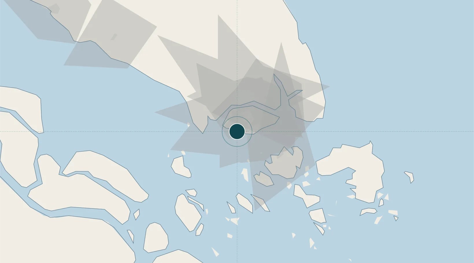
Location
Nearby Logistics Neighbours
Ports
- 1Pulau Bukom7 km
- 2Pulau Sebarok12 km
- 3Keppel - (East Singapore)13 km
- 4Tanjung Pelepas22 km
- 5Pulau Sambu23 km
Cities
- 1Singapore4 km
- 2PASIR PANJANG Terminal4 km
- 3Pulau Ayer Chawan4 km
- 4Pasir Panjang Wharves6 km
- 5Bukit Merah Estate9 km
Airports
- 1Tengah Air Base12 km
- 2Sembawang Air Base18 km
- 3Seletar Airport21 km
- 4Paya Lebar Air Base21 km
- 5Singapore Changi Airport30 km
DatabookThe Record of Consolidated Knowledge
Singapore beyond logistics?