Medium airport · Singapore
Seletar AirportWSSL
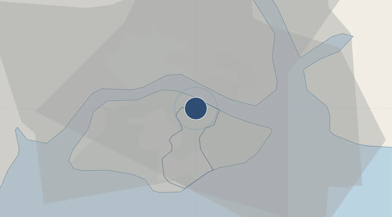
1.4156°, 103.8667°
6,023 ft
Longest runway
1
Runways
36 ft
Elevation
Runway & Layout

Radio Frequencies
TWR
118.45 MHz
GND
121.6 MHz
A/D
120.3 MHz
SINGAPORE APP/DEP
Navaids
SEL NDB Seletar 220 kHz
Runways · 1
| Runway | Dimensions | Surface | True heading | Lit |
|---|---|---|---|---|
| 03/21 | 6,023 × 151ft | Asphalt | 033° | ✓ |
Airport Specifications
IATA code
XSP
ICAO code
WSSL
Airport class
Medium airport
Scheduled service
Yes
Runway surface
Asphalt
Served city
Seletar
Location
Nearby Logistics Neighbours
Airports
- 1Sembawang Air Base6 km
- 2Paya Lebar Air Base8 km
- 3Singapore Changi Airport16 km
- 4Changi Air Base (East)18 km
- 5Tengah Air Base18 km
Cities
- 1Pasir Gudang, Johor5 km
- 2Johor Bahru6 km
- 3Choa Chu Kang15 km
- 4Clementi15 km
- 5West Coast Town15 km
Ports
- 1Johor4 km
- 2Keppel - (East Singapore)15 km
- 3Jurong Island21 km
- 4Pulau Bukom23 km
- 5Pulau Sebarok25 km
DatabookThe Record of Consolidated Knowledge
Singapore beyond logistics?