Seaport · Mexico
TuxpanMXTUX
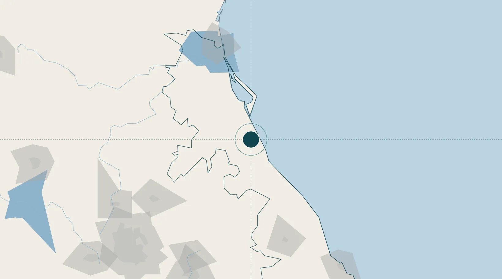
20.9500°, -97.4000°
3.4 m
Channel depth
1
Container terminals
13.9
Port liner connectivity
Channel & Berth Profile
Pilotage, Tugs & Services
Pilotage compulsoryYES
Pilotage availableYES
Tug assistanceYES
Shore powerYES
Potable waterYES
MedicalYES
Garbage disposalNO
Facilities & Capabilities
ContainerYES
Ro-RoYES
Liquid bulkYES
Dry bulkYES
Oil terminalYES
Break bulkYES
Dry dockNO
RepairsNO
BunkeringYES
Rail link—
Dangerous cargo—
ISPS securityYES
Harbour Specifications
Harbour size
Medium
Harbour type
River (Natural)
Shelter
Excellent
Water body
Gulf of Mexico; North Atlantic Ocean
Tidal range
0.5 m
Overhead limit
Yes
Pilotage
Yes
Liner Connectivity
13.9
PLSCI
Port Liner Shipping Connectivity Index for Tuxpan, as published by UNCTAD for the latest available quarter. Higher values indicate stronger scheduled liner-shipping integration.
Shown relative to the highest per-port PLSCI in the dataset (1,657.9).
Location
Container Terminals · 1
TUXPAN PORT TERMINAL
TPT TUXPAN PORT TERMINAL S.A. DE C.V.
Nearby Logistics Neighbours
Ports
- 1Tampico149 km
- 2Altamira177 km
- 3Veracruz235 km
- 4Coatzacoalcos441 km
- 5Nanchital448 km
Cities
- 1Temapache28 km
- 2Tihuatlán31 km
- 3Papantla58 km
- 4Tantoyuca97 km
- 5Cuetzalan del Progreso103 km
Airports
Trade Zones
DatabookThe Record of Consolidated Knowledge
Mexico beyond logistics?