Seaport · Mexico
VeracruzMXVER
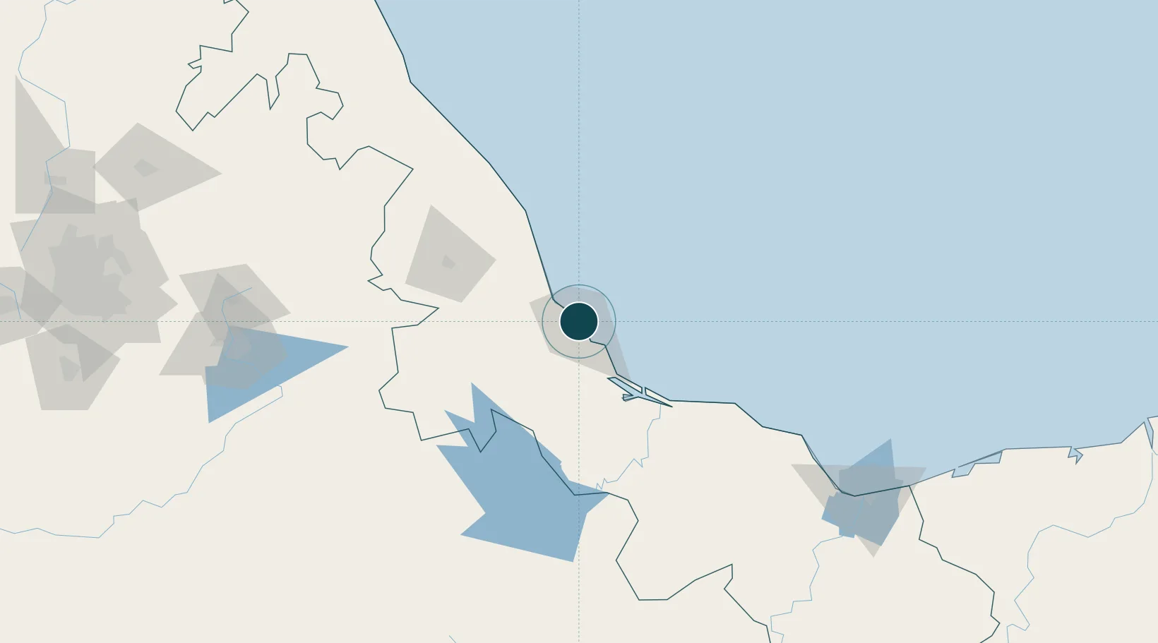
19.2000°, -96.1333°
14.0 m
Channel depth
3
Container terminals
200.0
Port liner connectivity
Channel & Berth Profile
Pilotage, Tugs & Services
Pilotage compulsoryYES
Pilotage availableYES
Pilotage advisableYES
Tug assistanceYES
Salvage tugsNO
Shore powerYES
Potable waterYES
MedicalYES
Garbage disposalYES
Facilities & Capabilities
ContainerYES
Ro-RoYES
Liquid bulkYES
Dry bulkYES
Oil terminal—
Break bulkYES
Dry dockNO
RepairsNO
BunkeringYES
Rail linkYES
Dangerous cargo—
ISPS securityYES
Harbour Specifications
Harbour size
Medium
Harbour type
Coastal (Breakwater)
Shelter
Good
Water body
Gulf of Mexico; North Atlantic Ocean
Tidal range
0.6 m
Overhead limit
No
Pilotage
Yes
Liner Connectivity
200
PLSCI
Port Liner Shipping Connectivity Index for Veracruz, as published by UNCTAD for the latest available quarter. Higher values indicate stronger scheduled liner-shipping integration.
Shown relative to the highest per-port PLSCI in the dataset (1,657.9).
Location
Container Terminals · 3
CICE NORTH BAY TERMINAL VERACRUZ
CICENB CORPORACION INTEGRAL DE COMERCIO EXTERIOR (CICE)
CICE SOUTH BAY TERMINAL VERACRUZ
CICESB CORPORACION INTEGRAL DE COMERCIO EXTERIOR (CICE)
HUTCHISON ICAVE VERACRUZ
ICAVE INTERNACIONAL DE CONTENEDORES ASOCIADOS DE VERACRUZ S.A. DE C.V. (HUTCHISON)
Nearby Logistics Neighbours
Ports
- 1Coatzacoalcos215 km
- 2Minatitlan218 km
- 3Nanchital220 km
- 4Tuxpan235 km
- 5Dos Bocas Terminal319 km
Cities
- 1Boca del Río9 km
- 2Fortin de las Flores12 km
- 3Cotaxtla49 km
- 4San Jose Chipila50 km
- 5Cuitláhuac75 km
Airports
Trade Zones
DatabookThe Record of Consolidated Knowledge
Mexico beyond logistics?