Transport Functions
Road
Multimodal
Hub Profile
Place type
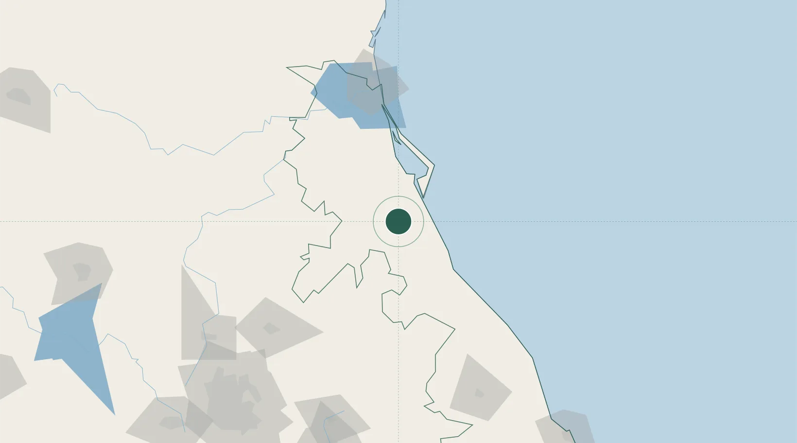
Populated place
Region
Veracruz
Population
1,751
Time zone
America/Mexico_City
Elevation
233 m
Location
Nearby Logistics Neighbours
Cities
- 1Tuxpan34 km
- 2Tihuatlán42 km
- 3Tantoyuca70 km
- 4Papantla78 km
- 5Cuetzalan del Progreso116 km
Ports
- 1Tuxpan28 km
- 2Tampico130 km
- 3Altamira159 km
- 4Veracruz260 km
- 5Coatzacoalcos468 km
Airports
Trade Zones
- 1Special Economic Zone of Coatzacoalcos463 km
- 2FTZ No. 062 Brownsville544 km
- 3Zona Economica Especial de Tabasco544 km
- 4FTZ No. 156 Weslaco567 km
- 5FTZ No. 157 Casper567 km
DatabookThe Record of Consolidated Knowledge
Mexico beyond logistics?