Large airport · Mexico
Querétaro Intercontinental AirportMMQT
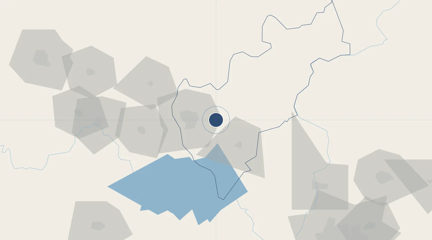
20.6188°, -100.1864°
11,483 ft
Longest runway
1
Runways
6,296 ft
Elevation
Runway & Layout

Radio Frequencies
TWR
118.95 MHz
Navaids
QET VOR-DME Queretaro 113.00 MHz
Runways · 1
| Runway | Dimensions | Surface | True heading | Lit |
|---|---|---|---|---|
| 09/27 | 11,483 × 148ft | Concrete | 101° | ✓ |
Airport Specifications
IATA code
QRO
ICAO code
MMQT
Airport class
Large airport
Scheduled service
Yes
Runway surface
Concrete
Served city
Querétaro
Location
Nearby Logistics Neighbours
Airports
Cities
- 1El Marques14 km
- 2Ajuchitlán21 km
- 3Bernal29 km
- 4Tequisquiapan35 km
- 5Apaseo el Grande54 km
Ports
- 1Tuxpan292 km
- 2Tampico299 km
- 3Altamira318 km
- 4Lazaro Cardenas364 km
- 5Acapulco420 km
Trade Zones
- 1The Special Economic Zone of Lázaro Cárdenas - La Unión365 km
- 2FTZ No. 012 McAllen645 km
- 3FTZ No. 156 Weslaco654 km
- 4FTZ No. 157 Casper654 km
- 5FTZ No. 095 Starr County655 km
DatabookThe Record of Consolidated Knowledge
Mexico beyond logistics?