Transport Functions
Port
Airport
Hub Profile
Place type
Provincial seat
Region
Tamaulipas
Population
309,003
Time zone
America/Monterrey
Elevation
27 m
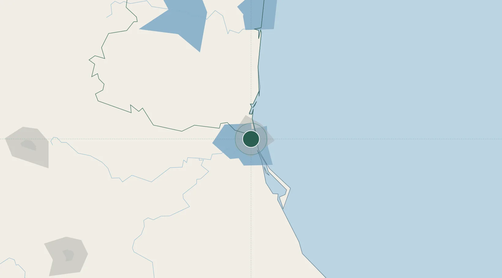
Location
Nearby Logistics Neighbours
Cities
- 1Ciudad Madero4 km
- 2Altamira21 km
- 3Atizapán de Zaragoza97 km
- 4Tantoyuca107 km
- 5Temapache134 km
Ports
- 1Altamira26 km
- 2Tuxpan152 km
- 3Veracruz384 km
- 4Brownsville414 km
- 5Port Isabel432 km
Airports
Trade Zones
- 1FTZ No. 062 Brownsville414 km
- 2FTZ No. 156 Weslaco435 km
- 3FTZ No. 157 Casper435 km
- 4FTZ No. 012 McAllen436 km
- 5FTZ No. 095 Starr County469 km
DatabookThe Record of Consolidated Knowledge
Mexico beyond logistics?