Medium airport · Mexico
General Francisco Javier Mina International AirportMMTM
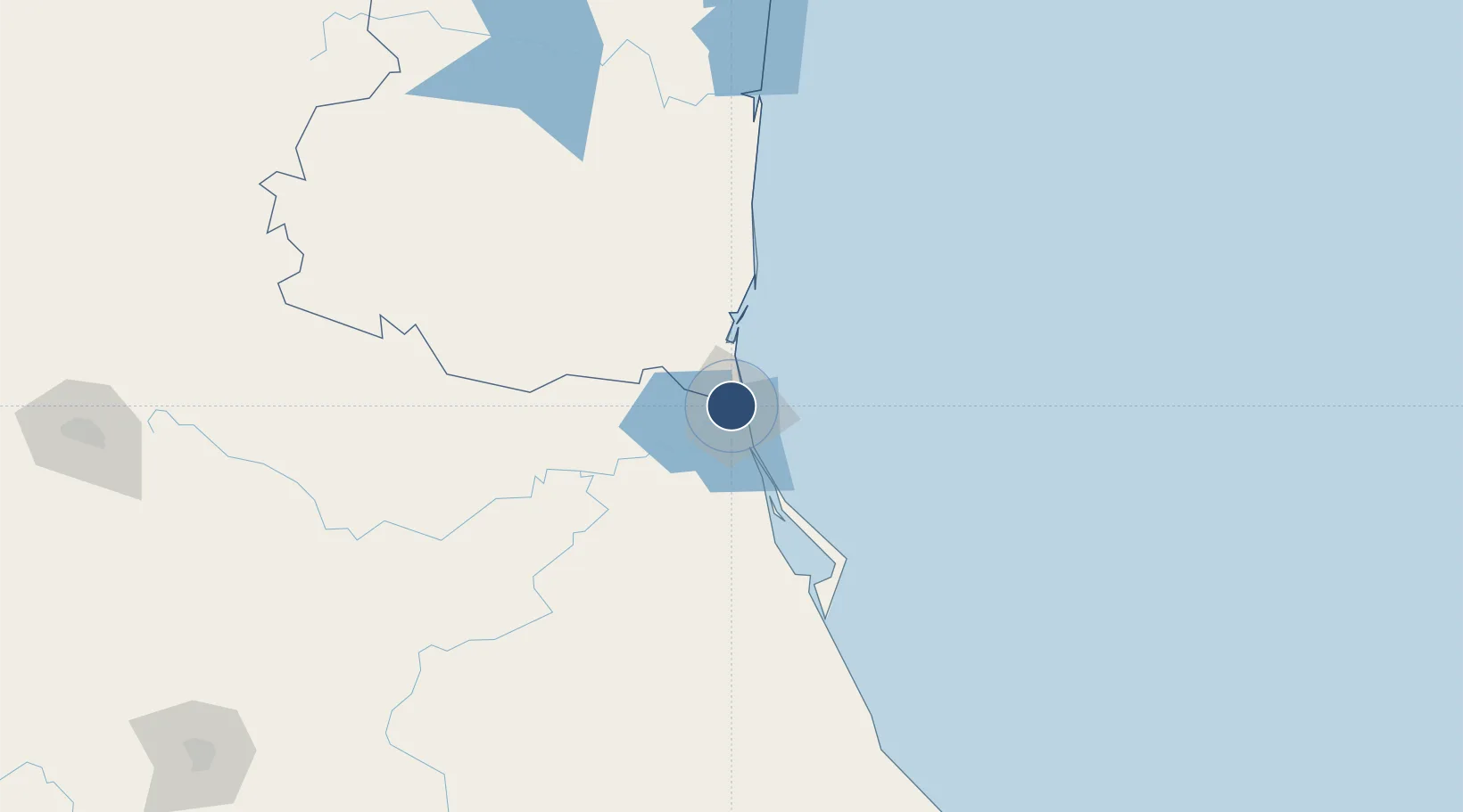
22.2926°, -97.8671°
8,366 ft
Longest runway
3
Runways
80 ft
Elevation
Runway & Layout

Radio Frequencies
TWR
118.3 MHz
TAMPICO TWR
APP
120.3 MHz
TAMPICO APP
Navaids
TAM VOR-DME Tampico 117.50 MHz
TAM NDB Tampico 413 kHz
Runways · 3
| Runway | Dimensions | Surface | True heading | Lit |
|---|---|---|---|---|
| 14/32 | 8,366 × 148ft | Asphalt | 145° | ✓ |
| 18/36 | 4,265 × 98ft | Asphalt | 190° | — |
| 09/27 | 3,937 × 98ft | Asphalt | 100° | — |
Airport Specifications
IATA code
TAM
ICAO code
MMTM
Airport class
Medium airport
Scheduled service
Yes
Runway surface
Asphalt
Served city
Ciudad Madero
Location
Nearby Logistics Neighbours
Airports
Cities
- 1Ciudad Madero5 km
- 2Tampico5 km
- 3Altamira16 km
- 4Atizapán de Zaragoza94 km
- 5Tantoyuca111 km
Ports
- 1Tampico8 km
- 2Altamira21 km
- 3Tuxpan157 km
- 4Veracruz388 km
- 5Brownsville409 km
Trade Zones
- 1FTZ No. 062 Brownsville409 km
- 2FTZ No. 156 Weslaco430 km
- 3FTZ No. 157 Casper430 km
- 4FTZ No. 012 McAllen431 km
- 5FTZ No. 095 Starr County464 km
DatabookThe Record of Consolidated Knowledge
Mexico beyond logistics?