Medium airport · Mexico

El Tajín National AirportMMPA
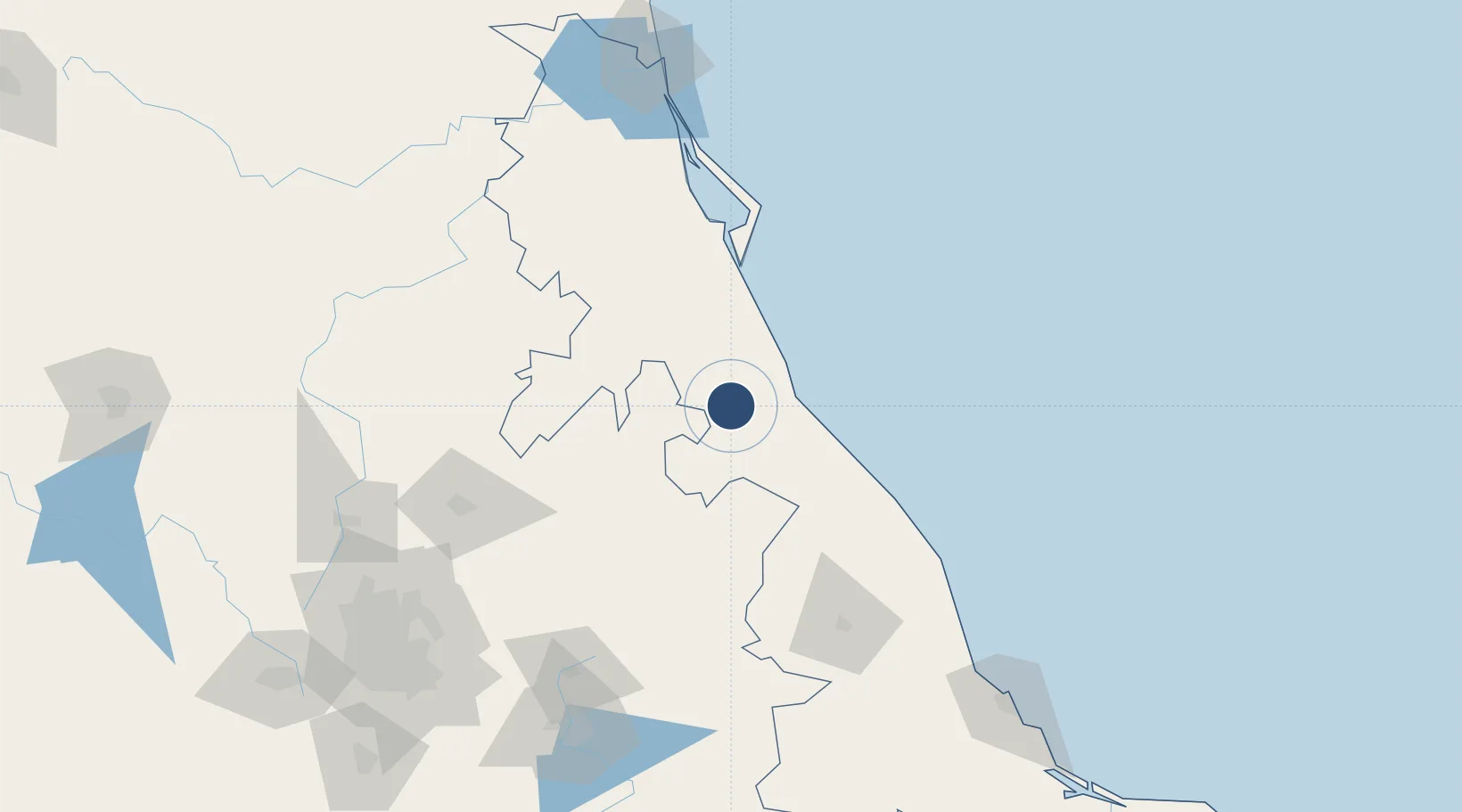
20.6027°, -97.4608°
5,906 ft
Longest runway
1
Runways
497 ft
Elevation

Runway & Layout

El Tajín National Airport runway & taxiway layout
Runway & taxiway layout — OpenStreetMap (ODbL) / OurAirports

Radio Frequencies

AFIS
118.9 MHz
POZA RICA INFO
OurAirports

Navaids

PAZ VOR-DME Poza Rica 115.50 MHz
OurAirports

Runways · 1

RunwayDimensions SurfaceTrue headingLit
08/26 5,906 × 148ft Asphalt 089°
OurAirports

Airport Specifications

IATA code
PAZ
OurAirports
ICAO code
MMPA
OurAirports
Airport class
Medium airport
OurAirports
Scheduled service
Yes
OurAirports
Runway surface
Asphalt
OurAirports
Served city
Poza Rica
OurAirports

Location

Location of MMPA
Natural Earth 10m (public domain) · Veracruz · MMPA · 20.60, -97.46GoogleOSMYandex

Nearby Logistics Neighbours

Cities
  1. 1Tihuatlán13 km
  2. 2Papantla24 km
  3. 3Tuxpan42 km
  4. 4Temapache55 km
  5. 5Cuetzalan del Progreso64 km
Nearest neighbours — logibook spatial index (haversine) over the source coordinates
Ports
  1. 1Tuxpan39 km
  2. 2Tampico184 km
  3. 3Veracruz209 km
  4. 4Altamira213 km
  5. 5Coatzacoalcos420 km
Nearest neighbours — logibook spatial index (haversine) over the source coordinates
Trade Zones
  1. 1Special Economic Zone of Coatzacoalcos415 km
  2. 2Zona Economica Especial de Tabasco503 km
  3. 3Special Economic Zone of Salina Cruz546 km
  4. 4The Special Economic Zone of Lázaro Cárdenas - La Unión577 km
  5. 5FTZ No. 062 Brownsville595 km
Nearest neighbours — logibook spatial index (haversine) over the source coordinates
DatabookThe Record of Consolidated Knowledge
Mexico beyond logistics?
Browse databook

All Sources

AirportsOurAirports
Public domain
Portsthe NGA World Port Index
Public domain (US gov)
LocationsUN/LOCODE
UN/LOCODE — free
Trade Zonesthe World Bank SEZ database
CC BY 4.0
Trade ZonesOpen Zone Map
CC BY
InfrastructureOpenStreetMap
ODbL 1.0
← Mexico airports