UN/LOCODE hub · Mexico
MXCDD
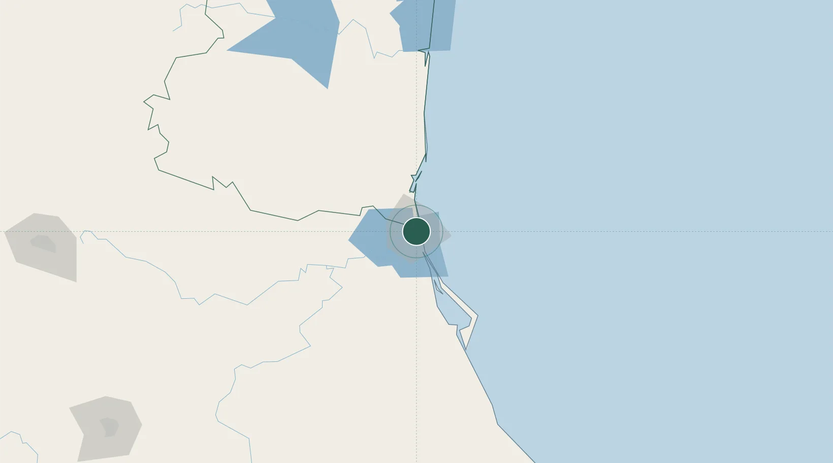
Ciudad Madero
22.2667°, -97.8333°
197,216
Population
3
Transport functions
Transport Functions
Port
Road
Airport
Hub Profile
Place type
Provincial seat
Region
Tamaulipas
Population
197,216
Time zone
America/Monterrey
Elevation
12 m
Location
Nearby Logistics Neighbours
Cities
- 1Tampico4 km
- 2Altamira20 km
- 3Atizapán de Zaragoza98 km
- 4Tantoyuca110 km
- 5Temapache135 km
Ports
- 1Tampico7 km
- 2Altamira24 km
- 3Tuxpan153 km
- 4Veracruz384 km
- 5Brownsville412 km
Airports
Trade Zones
- 1FTZ No. 062 Brownsville412 km
- 2FTZ No. 156 Weslaco433 km
- 3FTZ No. 157 Casper433 km
- 4FTZ No. 012 McAllen434 km
- 5FTZ No. 095 Starr County468 km
DatabookThe Record of Consolidated Knowledge
Mexico beyond logistics?