Medium airport · Mexico
General Pedro Jose Mendez International AirportMMCV
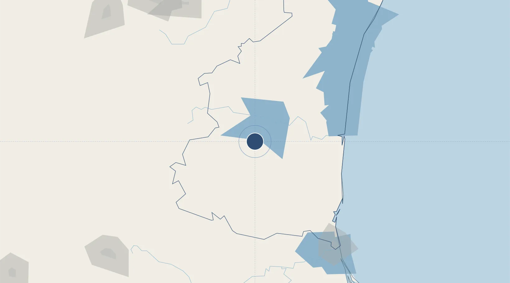
23.7033°, -98.9565°
7,218 ft
Longest runway
1
Runways
761 ft
Elevation
Runway & Layout

Radio Frequencies
TWR
118.2 MHz
VICTORIA TWR
APP
124.5 MHz
MONTERREY CNTR
Navaids
CVM VOR-DME Victoria 113.70 MHz
Runways · 1
| Runway | Dimensions | Surface | True heading | Lit |
|---|---|---|---|---|
| 15/33 | 7,218 × 148ft | Asphalt | 156° | ✓ |
Airport Specifications
IATA code
CVM
ICAO code
MMCV
Airport class
Medium airport
Scheduled service
Yes
Runway surface
Asphalt
Served city
Ciudad Victoria
Location
Nearby Logistics Neighbours
Airports
Cities
- 1Barretal45 km
- 2Atizapán de Zaragoza106 km
- 3González125 km
- 4Linares142 km
- 5Lampazos144 km
Ports
- 1Altamira177 km
- 2Tampico199 km
- 3Brownsville295 km
- 4Port Isabel319 km
- 5Tuxpan346 km
Trade Zones
- 1FTZ No. 012 McAllen281 km
- 2FTZ No. 156 Weslaco289 km
- 3FTZ No. 157 Casper289 km
- 4FTZ No. 062 Brownsville295 km
- 5FTZ No. 095 Starr County298 km
DatabookThe Record of Consolidated Knowledge
Mexico beyond logistics?