Medium airport · Mexico

Base N°1 de la Fuerza Aérea Mexicana (General Alfredo Lezama Álvarez)MX-2118

19.7352°, -98.9882°
7,365 ft
Elevation

Runway & Layout

Base N°1 de la Fuerza Aérea Mexicana (General Alfredo Lezama Álvarez) runway & taxiway layout
Runway & taxiway layout — OpenStreetMap (ODbL) / OurAirports

Airport Specifications

Airport class
Medium airport
OurAirports
Scheduled service
No
OurAirports
Served city
Zumpango
OurAirports

Location

Location of MX-2118
Natural Earth 10m (public domain) · México · MX-2118 · 19.74, -98.99GoogleOSMYandex

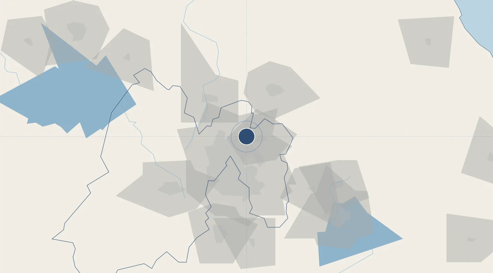
Nearby Logistics Neighbours

Airports
  1. 1Felipe Ángeles International Airport3 km
  2. 2Mexico City Benito Juárez International Airport34 km
  3. 3Helipuerto Ciudad de México35 km
  4. 4Helipuerto El Universal38 km
  5. 5Helipuerto VZ Flights41 km
Nearest neighbours — logibook spatial index (haversine) over the source coordinates
Cities
  1. 1Tecamac2 km
  2. 2Acolman15 km
  3. 3Ecatepec16 km
  4. 4Teoloyucan20 km
  5. 5Chiconcuac23 km
Nearest neighbours — logibook spatial index (haversine) over the source coordinates
Ports
  1. 1Tuxpan214 km
  2. 2Tampico300 km
  3. 3Veracruz305 km
  4. 4Altamira328 km
  5. 5Acapulco336 km
Nearest neighbours — logibook spatial index (haversine) over the source coordinates
Trade Zones
  1. 1The Special Economic Zone of Lázaro Cárdenas - La Unión391 km
  2. 2Special Economic Zone of Coatzacoalcos505 km
  3. 3Special Economic Zone of Salina Cruz561 km
  4. 4Zona Economica Especial de Tabasco620 km
  5. 5FTZ No. 062 Brownsville710 km
Nearest neighbours — logibook spatial index (haversine) over the source coordinates
DatabookThe Record of Consolidated Knowledge
Mexico beyond logistics?
Browse databook

All Sources

AirportsOurAirports
Public domain
Portsthe NGA World Port Index
Public domain (US gov)
LocationsUN/LOCODE
UN/LOCODE — free
Trade Zonesthe World Bank SEZ database
CC BY 4.0
Trade ZonesOpen Zone Map
CC BY
InfrastructureOpenStreetMap
ODbL 1.0
← Mexico airports