Transport Functions
Multimodal
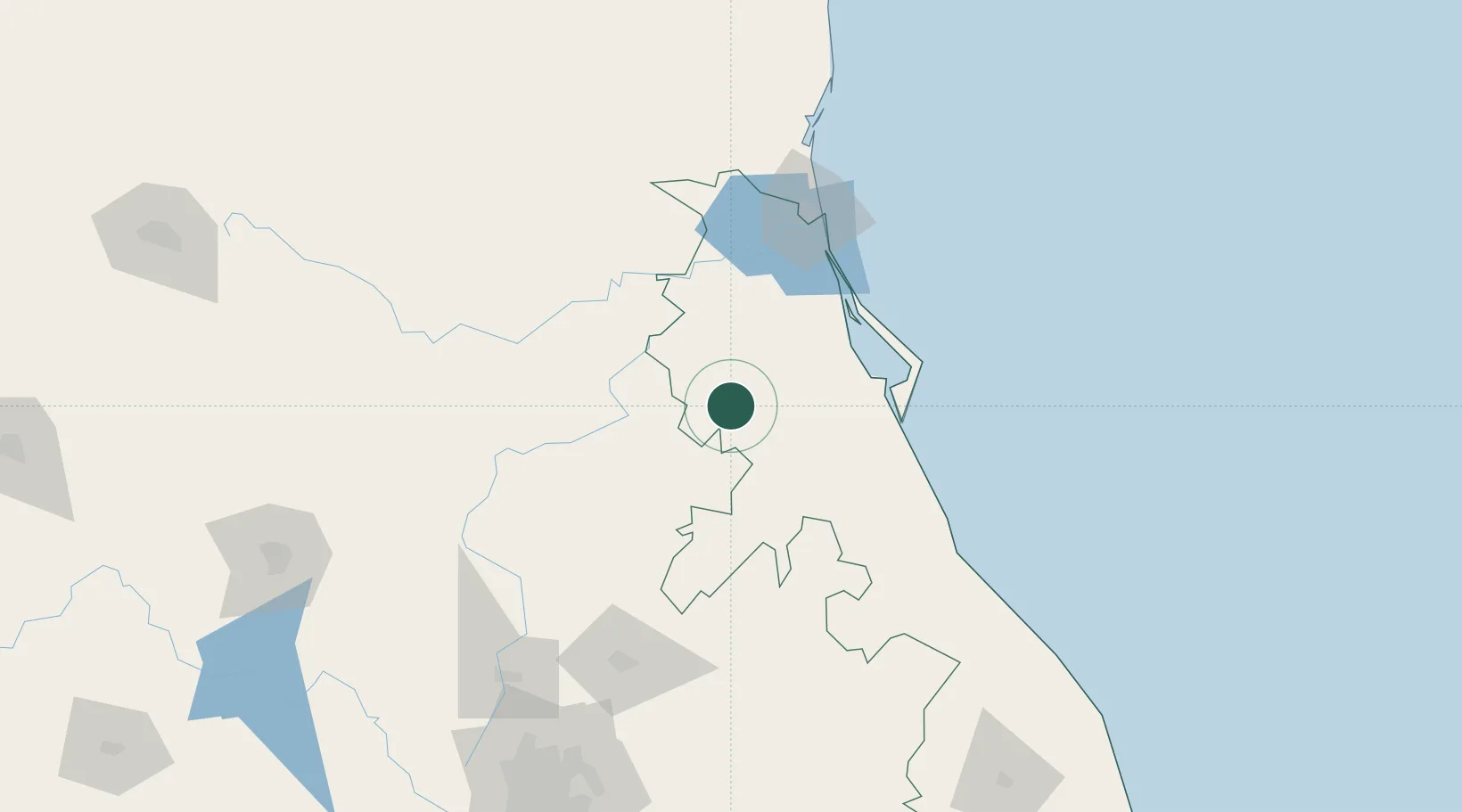
Hub Profile
Place type
Provincial seat
Region
Veracruz
Population
30,587
Time zone
America/Mexico_City
Elevation
167 m
Location
Nearby Logistics Neighbours
Cities
- 1Temapache70 km
- 2Tihuatlán103 km
- 3Tuxpan104 km
- 4Tampico107 km
- 5Ciudad Madero110 km
Ports
- 1Tuxpan97 km
- 2Tampico104 km
- 3Altamira132 km
- 4Veracruz324 km
- 5Brownsville519 km
Airports
Trade Zones
- 1FTZ No. 062 Brownsville518 km
- 2Special Economic Zone of Coatzacoalcos530 km
- 3FTZ No. 012 McAllen534 km
- 4FTZ No. 156 Weslaco535 km
- 5FTZ No. 157 Casper535 km
DatabookThe Record of Consolidated Knowledge
Mexico beyond logistics?