UN/LOCODE hub · Mexico
MXATM
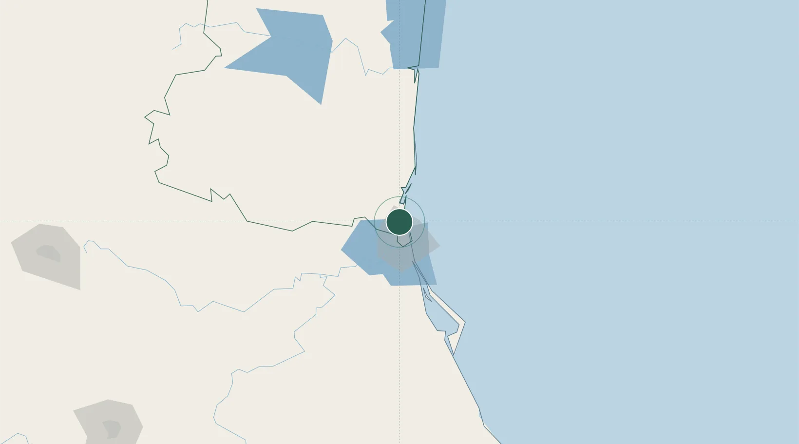
Altamira
22.4377°, -97.8934°
59,536
Population
2
Transport functions
2
Container terminals
Transport Functions
Port
Road
Hub Profile
Place type
Provincial seat
Region
Tamaulipas
Population
59,536
Time zone
America/Monterrey
Elevation
15 m
Logistics facilities
14
Container terminals
2
Location
Nearby Logistics Neighbours
Cities
- 1Ciudad Madero20 km
- 2Tampico21 km
- 3Atizapán de Zaragoza82 km
- 4Tantoyuca126 km
- 5Temapache155 km
Ports
- 1Tampico25 km
- 2Tuxpan173 km
- 3Brownsville394 km
- 4Veracruz404 km
- 5Port Isabel411 km
Airports
Trade Zones
- 1FTZ No. 062 Brownsville394 km
- 2FTZ No. 156 Weslaco414 km
- 3FTZ No. 157 Casper414 km
- 4FTZ No. 012 McAllen415 km
- 5FTZ No. 095 Starr County448 km
DatabookThe Record of Consolidated Knowledge
Mexico beyond logistics?