UN/LOCODE hub · Mexico
MXADZ

Atizapán de Zaragoza
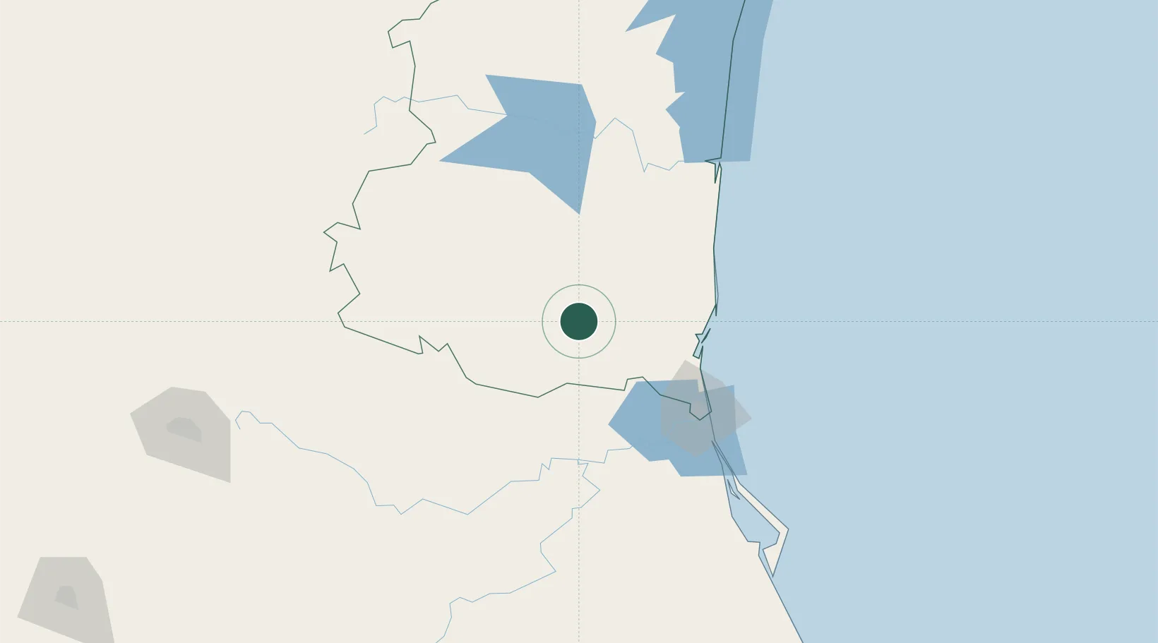
22.8167°, -98.5833°
368
Population
1
Transport functions

Transport Functions

Multimodal
UN/LOCODE

Hub Profile

Place type
Populated place
GeoNames
Region
Tamaulipas
GeoNames
Population
368
GeoNames
Time zone
America/Monterrey
GeoNames
Elevation
71 m
GeoNames

Location

Location of MXADZ
Natural Earth 10m (public domain) · Tamaulipas · MXADZ · 22.82, -98.58GoogleOSMYandex

Nearby Logistics Neighbours

Cities
  1. 1Altamira82 km
  2. 2Tampico97 km
  3. 3Ciudad Madero98 km
  4. 4González113 km
  5. 5Barretal151 km
Nearest neighbours — logibook spatial index (haversine) over the source coordinates
Ports
  1. 1Altamira84 km
  2. 2Tampico99 km
  3. 3Tuxpan241 km
  4. 4Brownsville368 km
  5. 5Port Isabel389 km
Nearest neighbours — logibook spatial index (haversine) over the source coordinates
Trade Zones
  1. 1FTZ No. 062 Brownsville368 km
  2. 2FTZ No. 012 McAllen372 km
  3. 3FTZ No. 156 Weslaco376 km
  4. 4FTZ No. 157 Casper376 km
  5. 5FTZ No. 095 Starr County397 km
Nearest neighbours — logibook spatial index (haversine) over the source coordinates
DatabookThe Record of Consolidated Knowledge
Mexico beyond logistics?
Browse databook

All Sources

LocationsUN/LOCODE
UN/LOCODE — free
LocationsGeoNames
CC BY 4.0
Portsthe NGA World Port Index
Public domain (US gov)
AirportsOurAirports
Public domain
Trade Zonesthe World Bank SEZ database
CC BY 4.0
Trade ZonesOpen Zone Map
CC BY
← Mexico locations