Channel & Berth Profile
Pilotage, Tugs & Services
Pilotage compulsoryYES
Tug assistanceNO
Salvage tugsNO
Potable waterYES
MedicalYES
Facilities & Capabilities
Container—
Ro-Ro—
Liquid bulk—
Dry bulk—
Oil terminal—
Break bulkYES
Dry dock—
RepairsNO
Bunkering—
Rail link—
Dangerous cargo—
ISPS securityYES
Harbour Specifications
Harbour size
Very Small
Harbour type
Coastal (Breakwater)
Shelter
Excellent
Water body
Gulf of Mexico; North Atlantic Ocean
Overhead limit
No
Pilotage
Yes
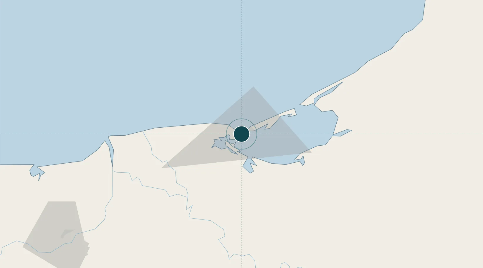
Location
Nearby Logistics Neighbours
Ports
- 1Frontera83 km
- 2Dos Bocas Terminal144 km
- 3Cayo Arcas Terminal171 km
- 4Campeche193 km
- 5Coatzacoalcos274 km
Cities
- 1Frontera82 km
- 2Cayo Arcas Terminal119 km
- 3Takuntah125 km
- 4Chiltepec131 km
- 5Dos Bocas Terminal140 km
Airports
Trade Zones
DatabookThe Record of Consolidated Knowledge
Mexico beyond logistics?