Transport Functions
Port
Fixed Transport
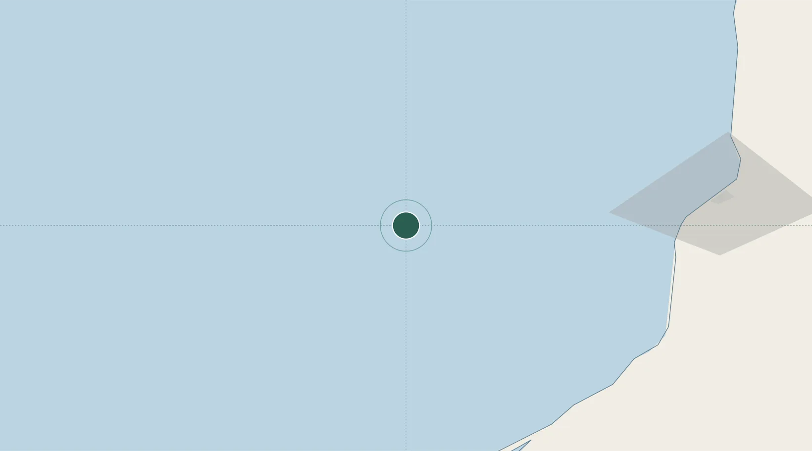
Location
Nearby Logistics Neighbours
Cities
- 1Cayo Arcas Terminal41 km
- 2Seybaplaya105 km
- 3Ciudad del Carmen125 km
- 4Tenabó157 km
- 5Frontera167 km
Ports
- 1Cayo Arcas Terminal55 km
- 2Campeche121 km
- 3Ciudad Del Carmen125 km
- 4Frontera168 km
- 5Dos Bocas Terminal216 km
Airports
Trade Zones
DatabookThe Record of Consolidated Knowledge
Mexico beyond logistics?