Large airport · Mexico

Carlos Rovirosa Pérez International AirportMMVA
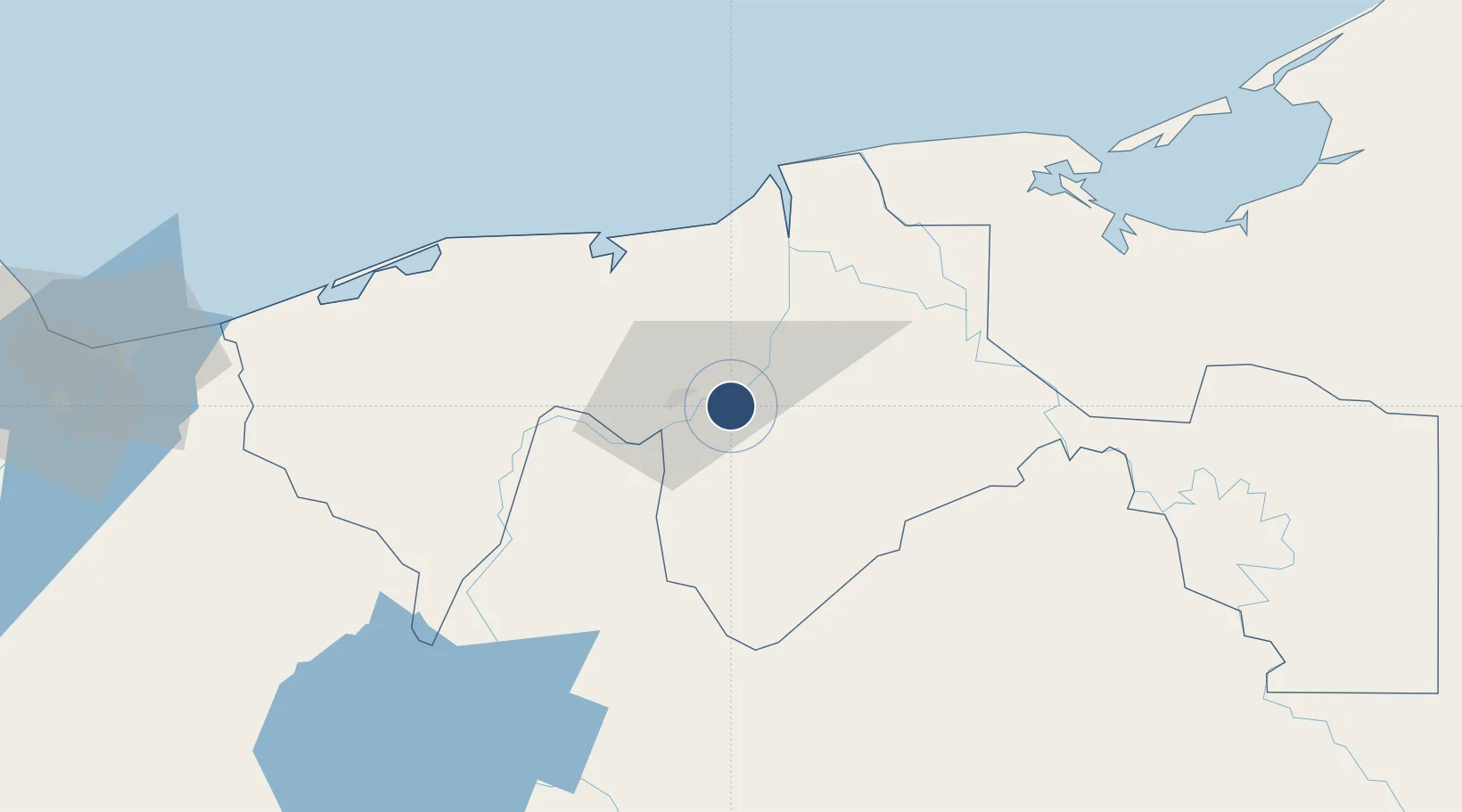
17.9943°, -92.8182°
7,218 ft
Longest runway
1
Runways
46 ft
Elevation

Runway & Layout

Carlos Rovirosa Pérez International Airport runway & taxiway layout
Runway & taxiway layout — OpenStreetMap (ODbL) / OurAirports

Radio Frequencies

TWR
118.7 MHz
VILLAHERMOSA TWR
APP
120.7 MHz
VILLAHERMOSA APP
OurAirports

Navaids

VSA VOR-DME Villahermosa 116.70 MHz
OurAirports

Runways · 1

RunwayDimensions SurfaceTrue headingLit
08/26 7,218 × 148ft Asphalt 087°
OurAirports

Airport Specifications

IATA code
VSA
OurAirports
ICAO code
MMVA
OurAirports
Airport class
Large airport
OurAirports
Scheduled service
Yes
OurAirports
Runway surface
Asphalt
OurAirports
Served city
Villahermosa
OurAirports

Location

Location of MMVA
Natural Earth 10m (public domain) · Tabasco · MMVA · 17.99, -92.82GoogleOSMYandex

Nearby Logistics Neighbours

Airports
  1. 1Cantarell II Platform Helipad93 km
  2. 2Ciudad del Carmen International Airport130 km
  3. 3Terán Air Base145 km
  4. 4Angel Albino Corzo International Airport161 km
  5. 5Minatitlán/Coatzacoalcos International Airport187 km
Nearest neighbours — logibook spatial index (haversine) over the source coordinates
Cities
  1. 1Chiltepec55 km
  2. 2Frontera63 km
  3. 3Dos Bocas Terminal68 km
  4. 4Ciudad del Carmen126 km
  5. 5Ixhuatlan del Sureste166 km
Nearest neighbours — logibook spatial index (haversine) over the source coordinates
Ports
  1. 1Frontera63 km
  2. 2Dos Bocas Terminal65 km
  3. 3Ciudad Del Carmen123 km
  4. 4Nanchital169 km
  5. 5Coatzacoalcos170 km
Nearest neighbours — logibook spatial index (haversine) over the source coordinates
Trade Zones
  1. 1Zona Economica Especial de Tabasco67 km
  2. 2Special Economic Zone of Coatzacoalcos178 km
  3. 3Special Economic Zone of Campeche292 km
  4. 4Special Economic Zone of Salina Cruz329 km
  5. 5Special Economic Zone of Puerto Chiapas369 km
Nearest neighbours — logibook spatial index (haversine) over the source coordinates
DatabookThe Record of Consolidated Knowledge
Mexico beyond logistics?
Browse databook

All Sources

AirportsOurAirports
Public domain
Portsthe NGA World Port Index
Public domain (US gov)
LocationsUN/LOCODE
UN/LOCODE — free
Trade Zonesthe World Bank SEZ database
CC BY 4.0
Trade ZonesOpen Zone Map
CC BY
InfrastructureOpenStreetMap
ODbL 1.0
← Mexico airports