UN/LOCODE hub · Mexico
MXDBT

Dos Bocas Terminal

18.5000°, -93.1833°
1
Transport functions

Transport Functions

Port
Dos Bocas Terminal is also a profiled seaport →
UN/LOCODE

Hub Profile

Region
TAB
GeoNames

Location

Location of MXDBT
Natural Earth 10m (public domain) · TAB · MXDBT · 18.50, -93.18GoogleOSMYandex

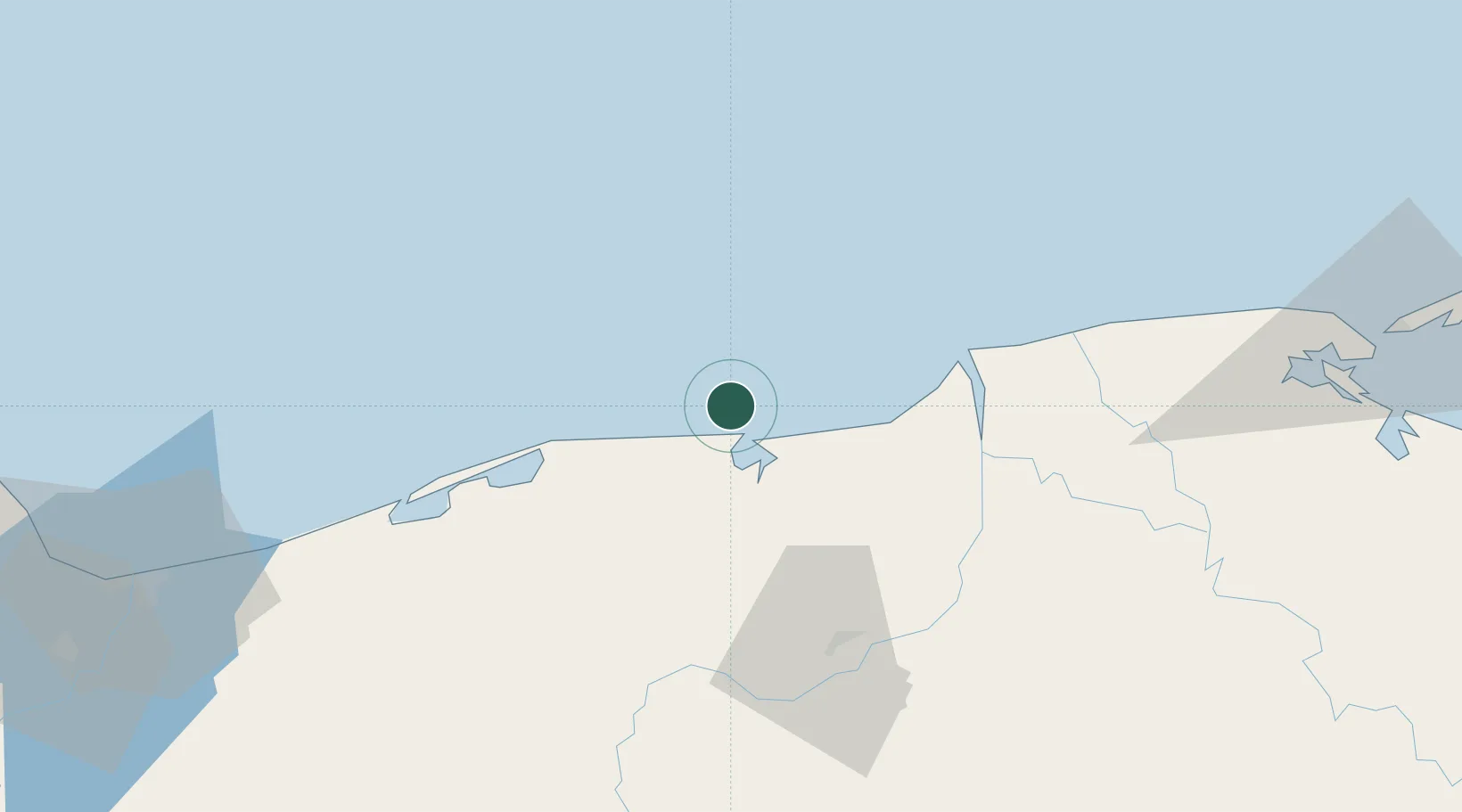
Nearby Logistics Neighbours

Cities
  1. 1Chiltepec14 km
  2. 2Frontera58 km
  3. 3Rabon Grande/Coatzacoalcos132 km
  4. 4Pajaritos134 km
  5. 5Coatzacoalcos135 km
Nearest neighbours — logibook spatial index (haversine) over the source coordinates
Ports
  1. 1Frontera56 km
  2. 2Coatzacoalcos136 km
  3. 3Nanchital139 km
  4. 4Ciudad Del Carmen140 km
  5. 5Minatitlan162 km
Nearest neighbours — logibook spatial index (haversine) over the source coordinates
Airports
  1. 1Cantarell II Platform Helipad36 km
  2. 2Carlos Rovirosa Pérez International Airport68 km
  3. 3Ciudad del Carmen International Airport147 km
  4. 4Minatitlán/Coatzacoalcos International Airport154 km
  5. 5Terán Air Base196 km
Nearest neighbours — logibook spatial index (haversine) over the source coordinates
Trade Zones
  1. 1Zona Economica Especial de Tabasco11 km
  2. 2Special Economic Zone of Coatzacoalcos145 km
  3. 3Special Economic Zone of Campeche295 km
  4. 4Special Economic Zone of Salina Cruz340 km
  5. 5Special Economic Zone of Puerto Chiapas431 km
Nearest neighbours — logibook spatial index (haversine) over the source coordinates
DatabookThe Record of Consolidated Knowledge
Mexico beyond logistics?
Browse databook

All Sources

LocationsUN/LOCODE
UN/LOCODE — free
Portsthe NGA World Port Index
Public domain (US gov)
AirportsOurAirports
Public domain
Trade Zonesthe World Bank SEZ database
CC BY 4.0
Trade ZonesOpen Zone Map
CC BY
← Mexico locations