Transport Functions
Port
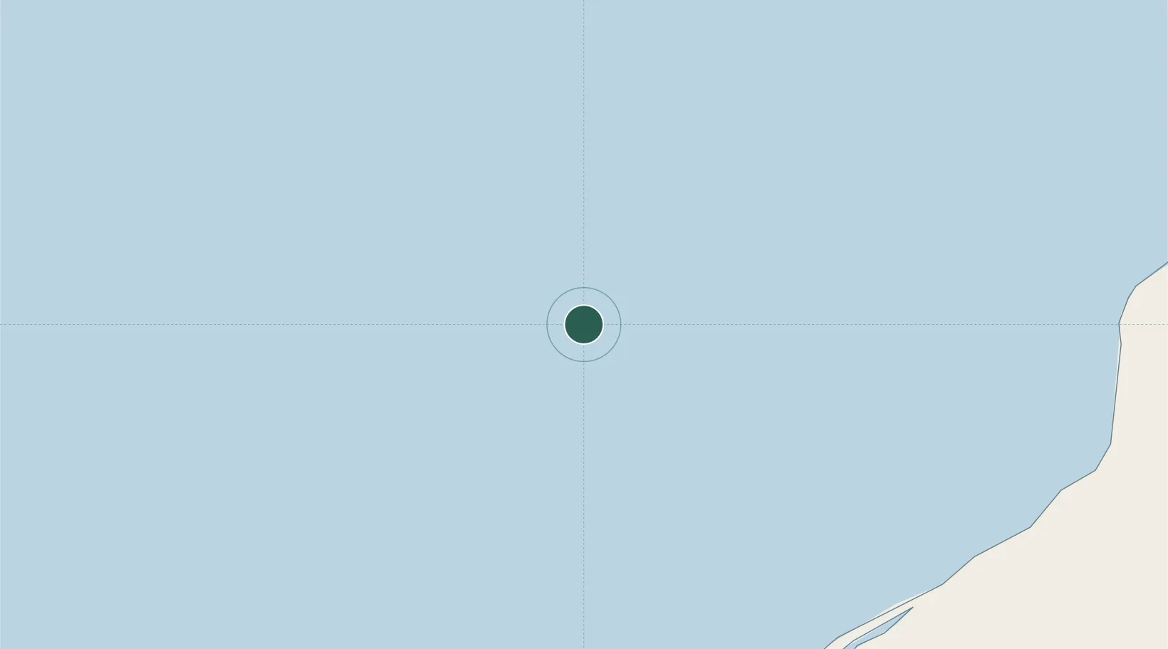
Location
Nearby Logistics Neighbours
Cities
- 1Takuntah41 km
- 2Ciudad del Carmen120 km
- 3Frontera140 km
- 4Seybaplaya145 km
- 5Dos Bocas Terminal175 km
Ports
- 1Ciudad Del Carmen119 km
- 2Frontera141 km
- 3Campeche162 km
- 4Dos Bocas Terminal183 km
- 5Coatzacoalcos299 km
Airports
Trade Zones
DatabookThe Record of Consolidated Knowledge
Mexico beyond logistics?