UN/LOCODE hub · Mexico
MXCME

Ciudad del Carmen

18.6333°, -91.8333°
191,238
Population
1
Transport functions

Transport Functions

Port
Ciudad del Carmen is also a profiled seaport →
UN/LOCODE

Hub Profile

Place type
Populated place
GeoNames
Region
Campeche
GeoNames
Population
191,238
GeoNames
Time zone
America/Merida
GeoNames
Elevation
6 m
GeoNames

Location

Location of MXCME
Natural Earth 10m (public domain) · Campeche · MXCME · 18.63, -91.83GoogleOSMYandex

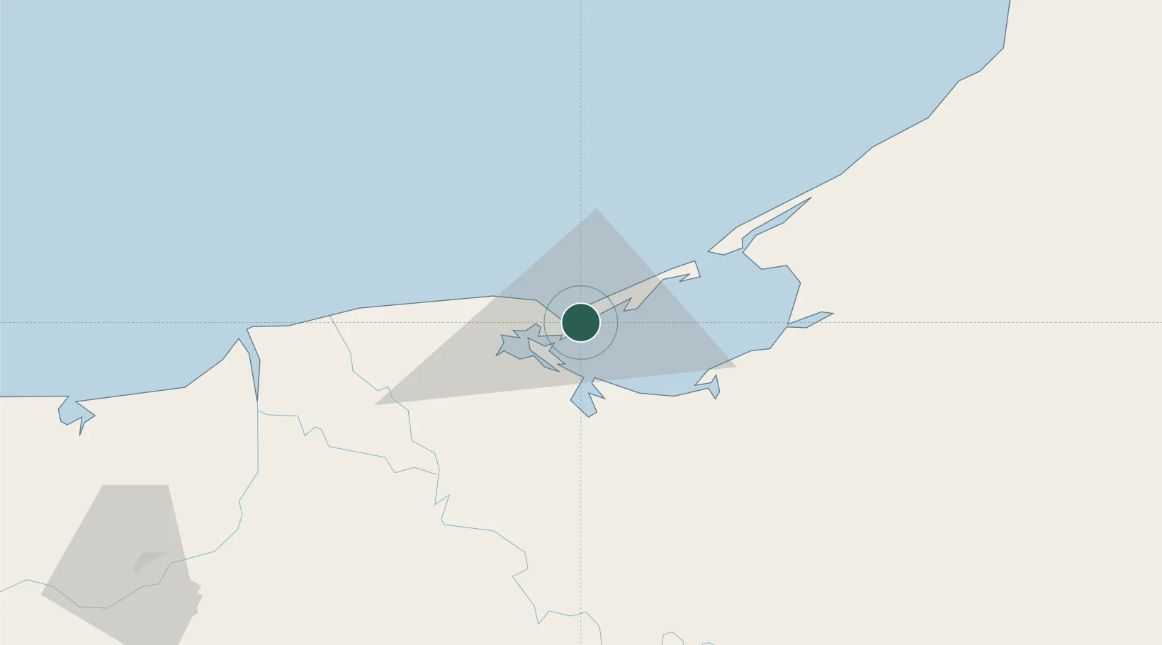
Nearby Logistics Neighbours

Cities
  1. 1Frontera85 km
  2. 2Cayo Arcas Terminal120 km
  3. 3Takuntah125 km
  4. 4Chiltepec134 km
  5. 5Dos Bocas Terminal143 km
Nearest neighbours — logibook spatial index (haversine) over the source coordinates
Ports
  1. 1Frontera87 km
  2. 2Dos Bocas Terminal148 km
  3. 3Cayo Arcas Terminal171 km
  4. 4Campeche191 km
  5. 5Coatzacoalcos278 km
Nearest neighbours — logibook spatial index (haversine) over the source coordinates
Airports
  1. 1Ciudad del Carmen International Airport4 km
  2. 2Carlos Rovirosa Pérez International Airport126 km
  3. 3Cantarell II Platform Helipad178 km
  4. 4Ingeniero Alberto Acuña Ongay International Airport192 km
  5. 5Terán Air Base254 km
Nearest neighbours — logibook spatial index (haversine) over the source coordinates
Trade Zones
  1. 1Zona Economica Especial de Tabasco151 km
  2. 2Special Economic Zone of Campeche167 km
  3. 3Special Economic Zone of Coatzacoalcos287 km
  4. 4Special Economic Zone of Progreso360 km
  5. 5Corozol Free Zone363 km
Nearest neighbours — logibook spatial index (haversine) over the source coordinates
DatabookThe Record of Consolidated Knowledge
Mexico beyond logistics?
Browse databook

All Sources

LocationsUN/LOCODE
UN/LOCODE — free
LocationsGeoNames
CC BY 4.0
Portsthe NGA World Port Index
Public domain (US gov)
AirportsOurAirports
Public domain
Trade Zonesthe World Bank SEZ database
CC BY 4.0
Trade ZonesOpen Zone Map
CC BY
← Mexico locations