Economic Revitalization Project · Mexico

Special Economic Zone of Coatzacoalcos Inactive
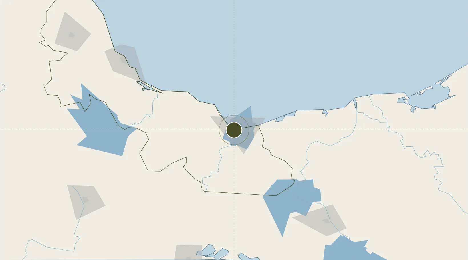
18.1342°, -94.4980°
12,846 ha
Zone area
8.8 km
Nearest port
9.4 km
Nearest airport

Gateway access

Nearest neighbours — logibook spatial index (haversine) over the source coordinates

Zone profile

Zone type
Economic Revitalization Project
Open Zone Map
Region
Veracruz
Open Zone Map
Status
Inactive
Open Zone Map
Management
Public
Open Zone Map
Operator
Autoridad Federal para el Desarrollo de las Zonas Económicas Especiales
Open Zone Map
Legal framework
Established in DOF: 29/09/2017 - Abolished in DOF: 19/11/2019
Open Zone Map

Location

Location of ozm-2849
Natural Earth 10m (public domain) · Veracruz · ozm-2849 · 18.13, -94.50GoogleOSMYandex

Nearby Logistics Neighbours

Ports
  1. 1Coatzacoalcos9 km
  2. 2Nanchital11 km
  3. 3Minatitlan28 km
  4. 4Dos Bocas Terminal139 km
  5. 5Frontera200 km
Nearest neighbours — logibook spatial index (haversine) over the source coordinates
Cities
  1. 1Coatzacoalcos10 km
  2. 2Pajaritos12 km
  3. 3Rabon Grande/Coatzacoalcos14 km
  4. 4Cosoleacaque15 km
  5. 5Ixhuatlan del Sureste18 km
Nearest neighbours — logibook spatial index (haversine) over the source coordinates
Trade Zones
  1. 1Zona Economica Especial de Tabasco136 km
  2. 2Special Economic Zone of Salina Cruz233 km
  3. 3Special Economic Zone of Campeche439 km
  4. 4Special Economic Zone of Puerto Chiapas442 km
  5. 5Zona Franca Cropa577 km
Nearest neighbours — logibook spatial index (haversine) over the source coordinates
DatabookThe Record of Consolidated Knowledge
Mexico beyond logistics?
Browse databook

All Sources

Trade ZonesOpen Zone Map
CC BY
Portsthe NGA World Port Index
Public domain (US gov)
AirportsOurAirports
Public domain
LocationsUN/LOCODE
UN/LOCODE — free
← Mexico trade zones